Readings Newsletter
Become a Readings Member to make your shopping experience even easier.
Sign in or sign up for free!
You’re not far away from qualifying for FREE standard shipping within Australia
You’ve qualified for FREE standard shipping within Australia
The cart is loading…


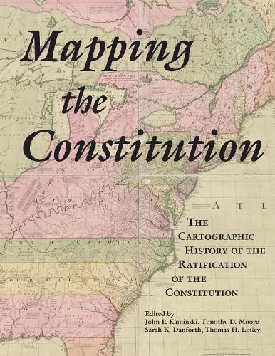
Ending in mid-September 1787, the Constitutional Convention recommended that the state legislatures call conventions elected by the people to consider ratifying the newly proposed Constitution. The five New England state legislatures called conventions in which delegates represented their towns, while in the other nine state conventions delegates represented counties and a few large towns. The maps in this atlas show the division between Federalists and Antifederalists in all fourteen states. This volume also contains a map derived from a map originally created in 1894 that depicts the geographical division of the vote on the Constitution throughout the country. Another map shows the locations of American towns in which nearly 100 newspapers and magazines were published in 1787-1790. Additionally, the names of the convention delegates are listed in state rosters arranged alphabetically by their towns and/or counties.
Distributed for the Center for the Study of the American Constitution
$9.00 standard shipping within Australia
FREE standard shipping within Australia for orders over $100.00
Express & International shipping calculated at checkout
Stock availability can be subject to change without notice. We recommend calling the shop or contacting our online team to check availability of low stock items. Please see our Shopping Online page for more details.
Ending in mid-September 1787, the Constitutional Convention recommended that the state legislatures call conventions elected by the people to consider ratifying the newly proposed Constitution. The five New England state legislatures called conventions in which delegates represented their towns, while in the other nine state conventions delegates represented counties and a few large towns. The maps in this atlas show the division between Federalists and Antifederalists in all fourteen states. This volume also contains a map derived from a map originally created in 1894 that depicts the geographical division of the vote on the Constitution throughout the country. Another map shows the locations of American towns in which nearly 100 newspapers and magazines were published in 1787-1790. Additionally, the names of the convention delegates are listed in state rosters arranged alphabetically by their towns and/or counties.
Distributed for the Center for the Study of the American Constitution
Search our extensive online catalogue.
