Readings Newsletter
Become a Readings Member to make your shopping experience even easier.
Sign in or sign up for free!
You’re not far away from qualifying for FREE standard shipping within Australia
You’ve qualified for FREE standard shipping within Australia
The cart is loading…


This title is printed to order. This book may have been self-published. If so, we cannot guarantee the quality of the content. In the main most books will have gone through the editing process however some may not. We therefore suggest that you be aware of this before ordering this book. If in doubt check either the author or publisher’s details as we are unable to accept any returns unless they are faulty. Please contact us if you have any questions.
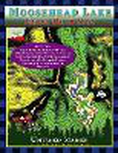
See the depths of Moosehead Lake in Full Color!
The Moosehead Lake depth maps are here! The Moosehead Lake Depth Map Atlases offer detailed 1-foot depth increments to show the contours of the bottom in full color, making it easy to find drop-offs, shallow areas, deep basins, and underwater mountains. The maps include the locations of underwater rock hazards, islands, fishing hotspots, parking, trailered & hand-carry boat launches, water-accessible fuel, picnic tables, restrooms, campsites, shipwrecks (in books 2 and 4), hazard buoys, channel buoys, no-wake zones, and the two-mile light buoy.
These maps are perfect if you love fishing, boating, canoeing, kayaking, camping, diving, & adventure on Moosehead Lake!
The maps include the locations of:
Underwater rock hazards Fishing hotspots Parking Trailered & hand-carry boat launches Water-accessible fuel Picnic tables Restrooms Campsites Kineo Fire Tower Shipwrecks Hazard buoys Channel buoys No-wake zones Two-mile light
These maps are for trip planning purposes only and are not intended to be used for navigation.
$9.00 standard shipping within Australia
FREE standard shipping within Australia for orders over $100.00
Express & International shipping calculated at checkout
This title is printed to order. This book may have been self-published. If so, we cannot guarantee the quality of the content. In the main most books will have gone through the editing process however some may not. We therefore suggest that you be aware of this before ordering this book. If in doubt check either the author or publisher’s details as we are unable to accept any returns unless they are faulty. Please contact us if you have any questions.
See the depths of Moosehead Lake in Full Color!
The Moosehead Lake depth maps are here! The Moosehead Lake Depth Map Atlases offer detailed 1-foot depth increments to show the contours of the bottom in full color, making it easy to find drop-offs, shallow areas, deep basins, and underwater mountains. The maps include the locations of underwater rock hazards, islands, fishing hotspots, parking, trailered & hand-carry boat launches, water-accessible fuel, picnic tables, restrooms, campsites, shipwrecks (in books 2 and 4), hazard buoys, channel buoys, no-wake zones, and the two-mile light buoy.
These maps are perfect if you love fishing, boating, canoeing, kayaking, camping, diving, & adventure on Moosehead Lake!
The maps include the locations of:
Underwater rock hazards Fishing hotspots Parking Trailered & hand-carry boat launches Water-accessible fuel Picnic tables Restrooms Campsites Kineo Fire Tower Shipwrecks Hazard buoys Channel buoys No-wake zones Two-mile light
These maps are for trip planning purposes only and are not intended to be used for navigation.
Search our extensive online catalogue.
