Readings Newsletter
Become a Readings Member to make your shopping experience even easier.
Sign in or sign up for free!
You’re not far away from qualifying for FREE standard shipping within Australia
You’ve qualified for FREE standard shipping within Australia
The cart is loading…


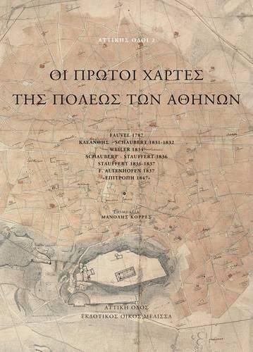
Old maps of the city of Athens are an inexhaustible source of historical information on residential development and construction, for unknown phases of the old water system, finding the location of forgotten buildings, to monitor the initial phases of public space, the distribution of urban green spaces, and, of course, an understanding of the development of urban and suburban roads. The maps of Fauvel (1785), the Kleanthis and Schaubert (1831-32), of Weiler (1834), the Schaubert and Stauffert (1836), the Stauffert (1836), and the Commission (1847), are reproduced for the first time in their original size and in high quality. In this way the most valuable cartographic documents the history of the city of Athens (which occupy the second part of the book in a 60-page booklet) are immediately accessible to a wide audience. The first part of the book contains explanatory texts by topic: mapping, naming, antiquities and churches, water/sanitation, construction/urban space. Also contains hitherto unknown texts by K. Beer, the late champion of Athenian historical topography and to whose memory the work is dedicated.
$9.00 standard shipping within Australia
FREE standard shipping within Australia for orders over $100.00
Express & International shipping calculated at checkout
Old maps of the city of Athens are an inexhaustible source of historical information on residential development and construction, for unknown phases of the old water system, finding the location of forgotten buildings, to monitor the initial phases of public space, the distribution of urban green spaces, and, of course, an understanding of the development of urban and suburban roads. The maps of Fauvel (1785), the Kleanthis and Schaubert (1831-32), of Weiler (1834), the Schaubert and Stauffert (1836), the Stauffert (1836), and the Commission (1847), are reproduced for the first time in their original size and in high quality. In this way the most valuable cartographic documents the history of the city of Athens (which occupy the second part of the book in a 60-page booklet) are immediately accessible to a wide audience. The first part of the book contains explanatory texts by topic: mapping, naming, antiquities and churches, water/sanitation, construction/urban space. Also contains hitherto unknown texts by K. Beer, the late champion of Athenian historical topography and to whose memory the work is dedicated.
Search our extensive online catalogue.
