Readings Newsletter
Become a Readings Member to make your shopping experience even easier.
Sign in or sign up for free!
You’re not far away from qualifying for FREE standard shipping within Australia
You’ve qualified for FREE standard shipping within Australia
The cart is loading…


This title is printed to order. This book may have been self-published. If so, we cannot guarantee the quality of the content. In the main most books will have gone through the editing process however some may not. We therefore suggest that you be aware of this before ordering this book. If in doubt check either the author or publisher’s details as we are unable to accept any returns unless they are faulty. Please contact us if you have any questions.
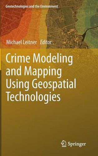
Recent years in North America have seen a rapid development in the area of crime analysis and mapping using Geographic Information Systems (GIS) technology.
In 1996, the US National Institute of Justice (NIJ) established the crime mapping research center (CMRC), to promote research, evaluation, development, and dissemination of GIS technology. The long-term goal is to develop a fully functional Crime Analysis System (CAS) with standardized data collection and reporting mechanisms, tools for spatial and temporal analysis, visualization of data and much more. Among the drawbacks of current crime analysis systems is their lack of tools for spatial analysis.
For this reason, spatial analysts should research which current analysis techniques (or variations of such techniques) that have been already successfully applied to other areas (e.g., epidemiology, location-allocation analysis, etc.) can also be employed to the spatial analysis of crime data. This book presents a few of those cases.
$9.00 standard shipping within Australia
FREE standard shipping within Australia for orders over $100.00
Express & International shipping calculated at checkout
This title is printed to order. This book may have been self-published. If so, we cannot guarantee the quality of the content. In the main most books will have gone through the editing process however some may not. We therefore suggest that you be aware of this before ordering this book. If in doubt check either the author or publisher’s details as we are unable to accept any returns unless they are faulty. Please contact us if you have any questions.
Recent years in North America have seen a rapid development in the area of crime analysis and mapping using Geographic Information Systems (GIS) technology.
In 1996, the US National Institute of Justice (NIJ) established the crime mapping research center (CMRC), to promote research, evaluation, development, and dissemination of GIS technology. The long-term goal is to develop a fully functional Crime Analysis System (CAS) with standardized data collection and reporting mechanisms, tools for spatial and temporal analysis, visualization of data and much more. Among the drawbacks of current crime analysis systems is their lack of tools for spatial analysis.
For this reason, spatial analysts should research which current analysis techniques (or variations of such techniques) that have been already successfully applied to other areas (e.g., epidemiology, location-allocation analysis, etc.) can also be employed to the spatial analysis of crime data. This book presents a few of those cases.