Readings Newsletter
Become a Readings Member to make your shopping experience even easier.
Sign in or sign up for free!
You’re not far away from qualifying for FREE standard shipping within Australia
You’ve qualified for FREE standard shipping within Australia
The cart is loading…


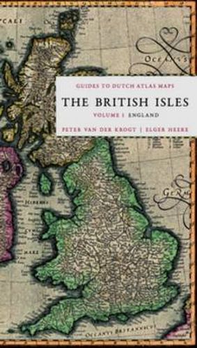
In the 16th, 17th and 18th century the Netherlands had a thriving map production and publishing industry. Johannes Blaeu and Abraham Ortelius are, among others, important names regarding the history of the Dutch cartographic industry. The maps produced in these three centruries are now relatively rare and highly sougth after by a large communicty of collectors, map curators, dealers of antiquities and enthusiasts. The series will give the reader clear, short, no-nonsense yet academically valid information about all Dutch atlas maps regarding a certain country or earea. e.g. England, Germany, France, etc. Each part will mainly address the edition of the atlas(es) in which the maps have been incorporated, the year of publication of the maps, the known states, cartographic references and remarks by the author. This first volume of the Guides to Dutch Atlas Maps series offers a descriptive catalogue of all the maps of England, and particular parts of the country, published in Dutch atlases between 1570 and 1650. All the maps in the atlases of Ortelius, Mercator-Hondius, Janssonius, Blaeu and their followers are recorded.
$9.00 standard shipping within Australia
FREE standard shipping within Australia for orders over $100.00
Express & International shipping calculated at checkout
Stock availability can be subject to change without notice. We recommend calling the shop or contacting our online team to check availability of low stock items. Please see our Shopping Online page for more details.
In the 16th, 17th and 18th century the Netherlands had a thriving map production and publishing industry. Johannes Blaeu and Abraham Ortelius are, among others, important names regarding the history of the Dutch cartographic industry. The maps produced in these three centruries are now relatively rare and highly sougth after by a large communicty of collectors, map curators, dealers of antiquities and enthusiasts. The series will give the reader clear, short, no-nonsense yet academically valid information about all Dutch atlas maps regarding a certain country or earea. e.g. England, Germany, France, etc. Each part will mainly address the edition of the atlas(es) in which the maps have been incorporated, the year of publication of the maps, the known states, cartographic references and remarks by the author. This first volume of the Guides to Dutch Atlas Maps series offers a descriptive catalogue of all the maps of England, and particular parts of the country, published in Dutch atlases between 1570 and 1650. All the maps in the atlases of Ortelius, Mercator-Hondius, Janssonius, Blaeu and their followers are recorded.
Search our extensive online catalogue.
