Readings Newsletter
Become a Readings Member to make your shopping experience even easier.
Sign in or sign up for free!
You’re not far away from qualifying for FREE standard shipping within Australia
You’ve qualified for FREE standard shipping within Australia
The cart is loading…


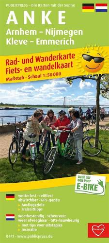
The ANKE cycling and hiking map (Arnhem - Nijmegen - Kleve - Emmerich) provides information in German and Dutch about the border area on the Lower Rhine. The fact that this flat area is particularly suitable for cyclists is shown by the 11 long-distance cycle paths marked on the map, which are largely cross-border and are described in more detail in the information section. There are also tips for excursions and worthwhile stopovers on the back of the ANKE cycling and hiking map.
$9.00 standard shipping within Australia
FREE standard shipping within Australia for orders over $100.00
Express & International shipping calculated at checkout
The ANKE cycling and hiking map (Arnhem - Nijmegen - Kleve - Emmerich) provides information in German and Dutch about the border area on the Lower Rhine. The fact that this flat area is particularly suitable for cyclists is shown by the 11 long-distance cycle paths marked on the map, which are largely cross-border and are described in more detail in the information section. There are also tips for excursions and worthwhile stopovers on the back of the ANKE cycling and hiking map.
Search our extensive online catalogue.
