Readings Newsletter
Become a Readings Member to make your shopping experience even easier.
Sign in or sign up for free!
You’re not far away from qualifying for FREE standard shipping within Australia
You’ve qualified for FREE standard shipping within Australia
The cart is loading…


This title is printed to order. This book may have been self-published. If so, we cannot guarantee the quality of the content. In the main most books will have gone through the editing process however some may not. We therefore suggest that you be aware of this before ordering this book. If in doubt check either the author or publisher’s details as we are unable to accept any returns unless they are faulty. Please contact us if you have any questions.
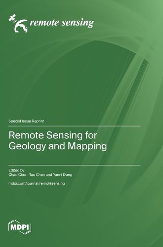
Remote sensing science and technology is a strategic emerging interdisciplinary discipline developed on the foundations of Earth science, traditional physics, and modern high technology. It provides humanity with diverse Earth Observation information and remote sensing data products, and has become a critical tool for scientific research in geology and mapping. In recent years, the development of technologies such as Earth big data and multi-satellite networked observation systems has significantly expanded data sources for remote sensing monitoring in geology and mapping, propelling this field into a new phase of advancement. This reprint highlights recent research efforts in the new theories, new technologies, and new applications of remote sensing in geology and mapping. The knowledge and understanding gained from this reprint can be used for the sustainable development of remote sensing in geology and mapping.
$9.00 standard shipping within Australia
FREE standard shipping within Australia for orders over $100.00
Express & International shipping calculated at checkout
This title is printed to order. This book may have been self-published. If so, we cannot guarantee the quality of the content. In the main most books will have gone through the editing process however some may not. We therefore suggest that you be aware of this before ordering this book. If in doubt check either the author or publisher’s details as we are unable to accept any returns unless they are faulty. Please contact us if you have any questions.
Remote sensing science and technology is a strategic emerging interdisciplinary discipline developed on the foundations of Earth science, traditional physics, and modern high technology. It provides humanity with diverse Earth Observation information and remote sensing data products, and has become a critical tool for scientific research in geology and mapping. In recent years, the development of technologies such as Earth big data and multi-satellite networked observation systems has significantly expanded data sources for remote sensing monitoring in geology and mapping, propelling this field into a new phase of advancement. This reprint highlights recent research efforts in the new theories, new technologies, and new applications of remote sensing in geology and mapping. The knowledge and understanding gained from this reprint can be used for the sustainable development of remote sensing in geology and mapping.