Readings Newsletter
Become a Readings Member to make your shopping experience even easier.
Sign in or sign up for free!
You’re not far away from qualifying for FREE standard shipping within Australia
You’ve qualified for FREE standard shipping within Australia
The cart is loading…


This title is printed to order. This book may have been self-published. If so, we cannot guarantee the quality of the content. In the main most books will have gone through the editing process however some may not. We therefore suggest that you be aware of this before ordering this book. If in doubt check either the author or publisher’s details as we are unable to accept any returns unless they are faulty. Please contact us if you have any questions.
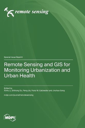
Remote sensing technology and Geographic Information Systems (GIS) have made significant advancements in the field of urban health, playing crucial roles in monitoring and analyzing urban expansion, land cover changes, urban heat island effects, and flood simulation. These developments indicate that the application of remote sensing and GIS in urban health is continuously deepening, providing powerful tools for urban planning and management. The aim of this reprint is to immerse the reader in the latest methodological models and applications of remote sensing, GIS, and big data in the fields of urban development, healthy cities, and environmental health. This reprint brings together the latest research findings from numerous scholars in the fields of environmental science, urban and rural planning, public health, remote sensing, and GIS applications. Innovations in data methods are evident in these studies, such as the introduction and application of dendrochronological data concepts and analytical methods. There is also research that integrates big data from the internet and various remote sensing data to study urban land use, transportation, public service facilities, and infectious diseases. The advancements in these areas indicate that the application of remote sensing and GIS in the field of urban health is continuously providing powerful tools for urban planning and management. As technology evolves, the application of these technologies in the field of urban health is expected to become more extensive and profound in the future.
$9.00 standard shipping within Australia
FREE standard shipping within Australia for orders over $100.00
Express & International shipping calculated at checkout
Stock availability can be subject to change without notice. We recommend calling the shop or contacting our online team to check availability of low stock items. Please see our Shopping Online page for more details.
This title is printed to order. This book may have been self-published. If so, we cannot guarantee the quality of the content. In the main most books will have gone through the editing process however some may not. We therefore suggest that you be aware of this before ordering this book. If in doubt check either the author or publisher’s details as we are unable to accept any returns unless they are faulty. Please contact us if you have any questions.
Remote sensing technology and Geographic Information Systems (GIS) have made significant advancements in the field of urban health, playing crucial roles in monitoring and analyzing urban expansion, land cover changes, urban heat island effects, and flood simulation. These developments indicate that the application of remote sensing and GIS in urban health is continuously deepening, providing powerful tools for urban planning and management. The aim of this reprint is to immerse the reader in the latest methodological models and applications of remote sensing, GIS, and big data in the fields of urban development, healthy cities, and environmental health. This reprint brings together the latest research findings from numerous scholars in the fields of environmental science, urban and rural planning, public health, remote sensing, and GIS applications. Innovations in data methods are evident in these studies, such as the introduction and application of dendrochronological data concepts and analytical methods. There is also research that integrates big data from the internet and various remote sensing data to study urban land use, transportation, public service facilities, and infectious diseases. The advancements in these areas indicate that the application of remote sensing and GIS in the field of urban health is continuously providing powerful tools for urban planning and management. As technology evolves, the application of these technologies in the field of urban health is expected to become more extensive and profound in the future.