Readings Newsletter
Become a Readings Member to make your shopping experience even easier.
Sign in or sign up for free!
You’re not far away from qualifying for FREE standard shipping within Australia
You’ve qualified for FREE standard shipping within Australia
The cart is loading…


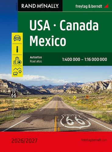
The USA - Canada - Mexico Road Atlas 1:400,000 - 1:16,000,000 is the ideal companion for anyone traveling in North America by car or camper. It's ideal for planning and also proves to be an indispensable orientation aid during the trip. The map scale varies by state. Mexico is included as an overview map.The atlas also offers detailed maps of over 50 North American cities, as well as a map showing distances and travel times between hundreds of cities.
Information on the USA - Canada - Mexico road atlas
USA - Canada - Mexico 1:400,000 - 1:16 million spiral binding National Parks Tourist information 50 city maps 184 pages, format 20.3 x 27.5 cm
Spiral binding: The USA - Canada - Mexico road atlas is particularly convenient to use, thanks to its spiral binding, which allows it to be easily opened. This way, the desired page always remains open, even while driving.
City center maps The 50 included city maps make it easy to find your way around the cities.
$9.00 standard shipping within Australia
FREE standard shipping within Australia for orders over $100.00
Express & International shipping calculated at checkout
Stock availability can be subject to change without notice. We recommend calling the shop or contacting our online team to check availability of low stock items. Please see our Shopping Online page for more details.
The USA - Canada - Mexico Road Atlas 1:400,000 - 1:16,000,000 is the ideal companion for anyone traveling in North America by car or camper. It's ideal for planning and also proves to be an indispensable orientation aid during the trip. The map scale varies by state. Mexico is included as an overview map.The atlas also offers detailed maps of over 50 North American cities, as well as a map showing distances and travel times between hundreds of cities.
Information on the USA - Canada - Mexico road atlas
USA - Canada - Mexico 1:400,000 - 1:16 million spiral binding National Parks Tourist information 50 city maps 184 pages, format 20.3 x 27.5 cm
Spiral binding: The USA - Canada - Mexico road atlas is particularly convenient to use, thanks to its spiral binding, which allows it to be easily opened. This way, the desired page always remains open, even while driving.
City center maps The 50 included city maps make it easy to find your way around the cities.