Readings Newsletter
Become a Readings Member to make your shopping experience even easier.
Sign in or sign up for free!
You’re not far away from qualifying for FREE standard shipping within Australia
You’ve qualified for FREE standard shipping within Australia
The cart is loading…


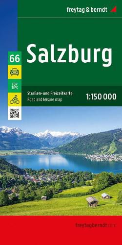
With the Salzburg road and leisure map at a scale of 1:150,000, vacationers traveling by car, motorcycle, or caravan will find their way around easily. The extensive road network is accurately depicted, and all major cycling routes, distances, and many excursion destinations are marked on the map. Information about the Salzburg road map Scale 1:150,000 Cycling routes Tourist information With info guide Campsites and pitches Place register with postcodes 9 city maps e.g. Salzburg, Radstadt, Bad Gastein approx. 122 x 87 cm Car and motorcycle drivers particularly appreciate freytag & berndt's precise cartography for planning and orientation on site. Caravan drivers and campers will, of course, find all campsites and parking spaces on the map. This map is sheet 66 of the Austria map series. The Austria map series consists of 8 sheets: Sheet 11: Lower Austria Sheet 22: Upper Austria Sheet 33: Burgenland Sheet 44: Styria Sheet 55: Carinthia Sheet 66: Salzburg Sheet 77: Tyrol Sheet 88: Vorarlberg Top Tips: The reverse of the map provides brief descriptions of the region's most important sights in German, English, French, and Italian. Printed in Austria.
$9.00 standard shipping within Australia
FREE standard shipping within Australia for orders over $100.00
Express & International shipping calculated at checkout
With the Salzburg road and leisure map at a scale of 1:150,000, vacationers traveling by car, motorcycle, or caravan will find their way around easily. The extensive road network is accurately depicted, and all major cycling routes, distances, and many excursion destinations are marked on the map. Information about the Salzburg road map Scale 1:150,000 Cycling routes Tourist information With info guide Campsites and pitches Place register with postcodes 9 city maps e.g. Salzburg, Radstadt, Bad Gastein approx. 122 x 87 cm Car and motorcycle drivers particularly appreciate freytag & berndt's precise cartography for planning and orientation on site. Caravan drivers and campers will, of course, find all campsites and parking spaces on the map. This map is sheet 66 of the Austria map series. The Austria map series consists of 8 sheets: Sheet 11: Lower Austria Sheet 22: Upper Austria Sheet 33: Burgenland Sheet 44: Styria Sheet 55: Carinthia Sheet 66: Salzburg Sheet 77: Tyrol Sheet 88: Vorarlberg Top Tips: The reverse of the map provides brief descriptions of the region's most important sights in German, English, French, and Italian. Printed in Austria.
Search our extensive online catalogue.
