Readings Newsletter
Become a Readings Member to make your shopping experience even easier.
Sign in or sign up for free!
You’re not far away from qualifying for FREE standard shipping within Australia
You’ve qualified for FREE standard shipping within Australia
The cart is loading…


This title is printed to order. This book may have been self-published. If so, we cannot guarantee the quality of the content. In the main most books will have gone through the editing process however some may not. We therefore suggest that you be aware of this before ordering this book. If in doubt check either the author or publisher’s details as we are unable to accept any returns unless they are faulty. Please contact us if you have any questions.
Lessons learned in the last several years have given clear indications that the prediction and efficient monitoring of disasters is one of the critical factors in decision-making process. In this respect space-based technologies have the great potential of supplying information in near real time. Earth observation satellites have already demonstrated their flexibility in providing data to a wide range of applications: weather forecasting, person and vehicle tracking, alerting to disaster, forest fire and flood monitoring, oil spills, spread of desertification, monitoring of crop and forestry damages.
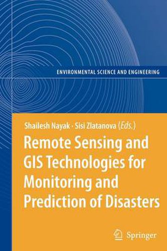
This book focuses on a wider utilisation of remote sensing in disaster management. The discussed aspects comprise data access/delivery to the users, information extraction and analysis, management of data and its integration with other data sources (airborne and terrestrial imagery, GIS data, etc.), data standardization, organisational and legal aspects of sharing remote sensing information.
$9.00 standard shipping within Australia
FREE standard shipping within Australia for orders over $100.00
Express & International shipping calculated at checkout
Stock availability can be subject to change without notice. We recommend calling the shop or contacting our online team to check availability of low stock items. Please see our Shopping Online page for more details.
This title is printed to order. This book may have been self-published. If so, we cannot guarantee the quality of the content. In the main most books will have gone through the editing process however some may not. We therefore suggest that you be aware of this before ordering this book. If in doubt check either the author or publisher’s details as we are unable to accept any returns unless they are faulty. Please contact us if you have any questions.
Lessons learned in the last several years have given clear indications that the prediction and efficient monitoring of disasters is one of the critical factors in decision-making process. In this respect space-based technologies have the great potential of supplying information in near real time. Earth observation satellites have already demonstrated their flexibility in providing data to a wide range of applications: weather forecasting, person and vehicle tracking, alerting to disaster, forest fire and flood monitoring, oil spills, spread of desertification, monitoring of crop and forestry damages.
This book focuses on a wider utilisation of remote sensing in disaster management. The discussed aspects comprise data access/delivery to the users, information extraction and analysis, management of data and its integration with other data sources (airborne and terrestrial imagery, GIS data, etc.), data standardization, organisational and legal aspects of sharing remote sensing information.