Readings Newsletter
Become a Readings Member to make your shopping experience even easier.
Sign in or sign up for free!
You’re not far away from qualifying for FREE standard shipping within Australia
You’ve qualified for FREE standard shipping within Australia
The cart is loading…


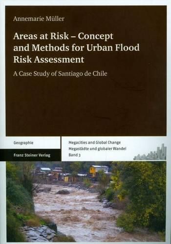
Urban expansion and associated land-use changes increase both flood hazards and exposure. This book provides a conceptual and methodological framework for the analysis of urban flood risk in dynamic and complex settings, and proposes a comprehensive, system-oriented, integrated approach for its assessment. The risk assessment is carried out using case-specific indicators on the sub-city scale in two municipalities of Santiago de Chile. Relevant information is derived from various geodata sources, and together with explorative scenarios, is used to estimate future risk development. All data about hazard, elements at risk, and their vulnerability are compiled to a GIS-based risk map to join the risk-relevant components, to show their interrelations, and to provide a tool for monitoring and evaluating their changes over time. Finally, previous deficits in flood risk prevention and mitigation are outlined and recommendations on risk reduction are made.
$9.00 standard shipping within Australia
FREE standard shipping within Australia for orders over $100.00
Express & International shipping calculated at checkout
Urban expansion and associated land-use changes increase both flood hazards and exposure. This book provides a conceptual and methodological framework for the analysis of urban flood risk in dynamic and complex settings, and proposes a comprehensive, system-oriented, integrated approach for its assessment. The risk assessment is carried out using case-specific indicators on the sub-city scale in two municipalities of Santiago de Chile. Relevant information is derived from various geodata sources, and together with explorative scenarios, is used to estimate future risk development. All data about hazard, elements at risk, and their vulnerability are compiled to a GIS-based risk map to join the risk-relevant components, to show their interrelations, and to provide a tool for monitoring and evaluating their changes over time. Finally, previous deficits in flood risk prevention and mitigation are outlined and recommendations on risk reduction are made.