Readings Newsletter
Become a Readings Member to make your shopping experience even easier.
Sign in or sign up for free!
You’re not far away from qualifying for FREE standard shipping within Australia
You’ve qualified for FREE standard shipping within Australia
The cart is loading…


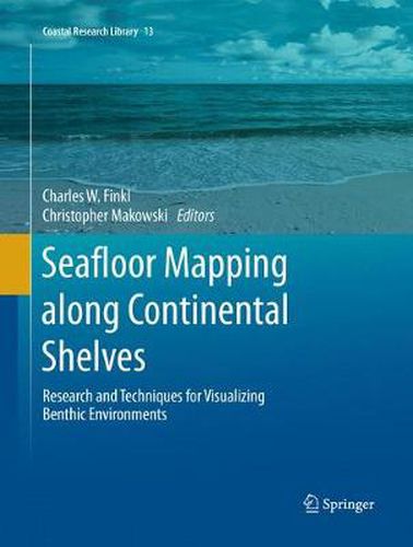
This university-level reference work covers a range of remote sensing techniques that are useful for mapping and visualizing benthic environments on continental shelves. Chapters focus on overviews of the history and future of seafloor mapping techniques, cartographical visualisation and communication of seafloor mapping, and practical applications of new technologies. Seabed mapping is referenced by high-resolution seismic methods, sidescan sonar, multibeam bathymetry, satellite imagery, LiDAR, acoustic backscatter techniques, and soundscape ecology monitoring, use of autonomous underwater vehicles, among other methods. The wide breadth of subjects in this volume provides diversified coverage of seafloor imaging. This collection of modern seafloor mapping techniques summarizes the state of the art methods for mapping continental shelves.
$9.00 standard shipping within Australia
FREE standard shipping within Australia for orders over $100.00
Express & International shipping calculated at checkout
This university-level reference work covers a range of remote sensing techniques that are useful for mapping and visualizing benthic environments on continental shelves. Chapters focus on overviews of the history and future of seafloor mapping techniques, cartographical visualisation and communication of seafloor mapping, and practical applications of new technologies. Seabed mapping is referenced by high-resolution seismic methods, sidescan sonar, multibeam bathymetry, satellite imagery, LiDAR, acoustic backscatter techniques, and soundscape ecology monitoring, use of autonomous underwater vehicles, among other methods. The wide breadth of subjects in this volume provides diversified coverage of seafloor imaging. This collection of modern seafloor mapping techniques summarizes the state of the art methods for mapping continental shelves.
Search our extensive online catalogue.
