Readings Newsletter
Become a Readings Member to make your shopping experience even easier.
Sign in or sign up for free!
You’re not far away from qualifying for FREE standard shipping within Australia
You’ve qualified for FREE standard shipping within Australia
The cart is loading…


This title is printed to order. This book may have been self-published. If so, we cannot guarantee the quality of the content. In the main most books will have gone through the editing process however some may not. We therefore suggest that you be aware of this before ordering this book. If in doubt check either the author or publisher’s details as we are unable to accept any returns unless they are faulty. Please contact us if you have any questions.
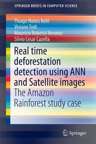
The foremost aim of the present study was the development of a tool to detect daily deforestation in the Amazon rainforest, using satellite images from the MODIS/TERRA sensor and Artificial Neural Networks. The developed tool provides parameterization of the configuration for the neural network training to enable us to select the best neural architecture to address the problem. The tool makes use of confusion matrices to determine the degree of success of the network. A spectrum-temporal analysis of the study area was done on 57 images from May 20 to July 15, 2003 using the trained neural network. The analysis enabled verification of quality of the implemented neural network classification and also aided in understanding the dynamics of deforestation in the Amazon rainforest, thereby highlighting the vast potential of neural networks for image classification. However, the complex task of detection of predatory actions at the beginning, i.e., generation of consistent alarms, instead of false alarms has not been solved yet. Thus, the present article provides a theoretical basis and elaboration of practical use of neural networks and satellite images to combat illegal deforestation.
$9.00 standard shipping within Australia
FREE standard shipping within Australia for orders over $100.00
Express & International shipping calculated at checkout
This title is printed to order. This book may have been self-published. If so, we cannot guarantee the quality of the content. In the main most books will have gone through the editing process however some may not. We therefore suggest that you be aware of this before ordering this book. If in doubt check either the author or publisher’s details as we are unable to accept any returns unless they are faulty. Please contact us if you have any questions.
The foremost aim of the present study was the development of a tool to detect daily deforestation in the Amazon rainforest, using satellite images from the MODIS/TERRA sensor and Artificial Neural Networks. The developed tool provides parameterization of the configuration for the neural network training to enable us to select the best neural architecture to address the problem. The tool makes use of confusion matrices to determine the degree of success of the network. A spectrum-temporal analysis of the study area was done on 57 images from May 20 to July 15, 2003 using the trained neural network. The analysis enabled verification of quality of the implemented neural network classification and also aided in understanding the dynamics of deforestation in the Amazon rainforest, thereby highlighting the vast potential of neural networks for image classification. However, the complex task of detection of predatory actions at the beginning, i.e., generation of consistent alarms, instead of false alarms has not been solved yet. Thus, the present article provides a theoretical basis and elaboration of practical use of neural networks and satellite images to combat illegal deforestation.