Readings Newsletter
Become a Readings Member to make your shopping experience even easier.
Sign in or sign up for free!
You’re not far away from qualifying for FREE standard shipping within Australia
You’ve qualified for FREE standard shipping within Australia
The cart is loading…


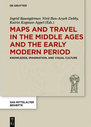
The volume discusses the world as it was known in the Medieval and Early Modern periods, focusing on projects concerned with mapping as a conceptual and artistic practice, with visual representations of space, and with destinations of real and fictive travel. Maps were often taken as straightforward, objective configurations. However, they expose deeply subjective frameworks with social, political, and economic significance. Travel narratives, whether illustrated or not, can address similar frameworks. Whereas travelled space is often adventurous, and speaking of hardship, strange encounters and danger, city portraits tell a tale of civilized life and civic pride. The book seeks to address the multiple ways in which maps and travel literature conceive of the world, communicate a ‘Weltbild’, depict space, and/or define knowledge.
The volume challenges academic boundaries in the study of cartography by exploring the links between mapmaking and artistic practices. The contributions discuss individual mapmakers, authors of travelogues, mapmaking as an artistic practice, the relationship between travel literature and mapmaking, illustration in travel literature, and imagination in depictions of newly explored worlds.
$9.00 standard shipping within Australia
FREE standard shipping within Australia for orders over $100.00
Express & International shipping calculated at checkout
The volume discusses the world as it was known in the Medieval and Early Modern periods, focusing on projects concerned with mapping as a conceptual and artistic practice, with visual representations of space, and with destinations of real and fictive travel. Maps were often taken as straightforward, objective configurations. However, they expose deeply subjective frameworks with social, political, and economic significance. Travel narratives, whether illustrated or not, can address similar frameworks. Whereas travelled space is often adventurous, and speaking of hardship, strange encounters and danger, city portraits tell a tale of civilized life and civic pride. The book seeks to address the multiple ways in which maps and travel literature conceive of the world, communicate a ‘Weltbild’, depict space, and/or define knowledge.
The volume challenges academic boundaries in the study of cartography by exploring the links between mapmaking and artistic practices. The contributions discuss individual mapmakers, authors of travelogues, mapmaking as an artistic practice, the relationship between travel literature and mapmaking, illustration in travel literature, and imagination in depictions of newly explored worlds.