Readings Newsletter
Become a Readings Member to make your shopping experience even easier.
Sign in or sign up for free!
You’re not far away from qualifying for FREE standard shipping within Australia
You’ve qualified for FREE standard shipping within Australia
The cart is loading…


This title is printed to order. This book may have been self-published. If so, we cannot guarantee the quality of the content. In the main most books will have gone through the editing process however some may not. We therefore suggest that you be aware of this before ordering this book. If in doubt check either the author or publisher’s details as we are unable to accept any returns unless they are faulty. Please contact us if you have any questions.
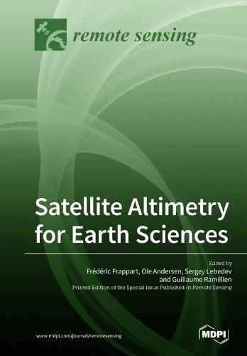
Satellite altimetry is a radar technique for measuring the topography of the Earth’s surface. It was initially designed for measuring the ocean’s topography, with reference to an ellipsoid, and for the determination of the marine geoid. Satellite altimetry has provided extremely valuable information on ocean science (e.g., circulation surface geostrophic currents, eddy structures, wave heights, and the propagation of oceanic Kelvin and Rossby waves). With more than 25 years of observations, it is also becoming vital to climate research, providing accurate measurements of sea level variations from regional to global scales. Altimetry has also demonstrated a strong potential for geophysical, cryospheric, and hydrological research and is now commonly used for the monitoring of Arctic and Antarctic ice sheet topography and of terrestrial surface water levels. This book aims to present reviews and recent advances of general interest in the use of radar altimetry in Earth sciences. Manuscripts are related to any aspect of radar altimetry technique or geophysical applications. We also encourage manuscripts resulting from the application of new altimetric technology (SAR, SARin, and Ka band) and improvements expected from missions to be launched in the near future (i.e., SWOT).
$9.00 standard shipping within Australia
FREE standard shipping within Australia for orders over $100.00
Express & International shipping calculated at checkout
This title is printed to order. This book may have been self-published. If so, we cannot guarantee the quality of the content. In the main most books will have gone through the editing process however some may not. We therefore suggest that you be aware of this before ordering this book. If in doubt check either the author or publisher’s details as we are unable to accept any returns unless they are faulty. Please contact us if you have any questions.
Satellite altimetry is a radar technique for measuring the topography of the Earth’s surface. It was initially designed for measuring the ocean’s topography, with reference to an ellipsoid, and for the determination of the marine geoid. Satellite altimetry has provided extremely valuable information on ocean science (e.g., circulation surface geostrophic currents, eddy structures, wave heights, and the propagation of oceanic Kelvin and Rossby waves). With more than 25 years of observations, it is also becoming vital to climate research, providing accurate measurements of sea level variations from regional to global scales. Altimetry has also demonstrated a strong potential for geophysical, cryospheric, and hydrological research and is now commonly used for the monitoring of Arctic and Antarctic ice sheet topography and of terrestrial surface water levels. This book aims to present reviews and recent advances of general interest in the use of radar altimetry in Earth sciences. Manuscripts are related to any aspect of radar altimetry technique or geophysical applications. We also encourage manuscripts resulting from the application of new altimetric technology (SAR, SARin, and Ka band) and improvements expected from missions to be launched in the near future (i.e., SWOT).