Readings Newsletter
Become a Readings Member to make your shopping experience even easier.
Sign in or sign up for free!
You’re not far away from qualifying for FREE standard shipping within Australia
You’ve qualified for FREE standard shipping within Australia
The cart is loading…


This title is printed to order. This book may have been self-published. If so, we cannot guarantee the quality of the content. In the main most books will have gone through the editing process however some may not. We therefore suggest that you be aware of this before ordering this book. If in doubt check either the author or publisher’s details as we are unable to accept any returns unless they are faulty. Please contact us if you have any questions.
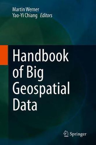
This handbook covers a wide range of topics related to the collection, processing, analysis, and use of geospatial data in their various forms. This handbook provides an overview of how spatial computing technologies for big data can be organized and implemented to solve real-world problems. Diverse subdomains ranging from indoor mapping and navigation over trajectory computing to earth observation from space, are also present in this handbook. It combines fundamental contributions focusing on spatio-textual analysis, uncertain databases, and spatial statistics with application examples such as road network detection or colocation detection using GPUs. In summary, this handbook gives an essential introduction and overview of the rich field of spatial information science and big geospatial data.
It introduces three different perspectives, which together define the field of big geospatial data: a societal, governmental, and governance perspective. It discusses questions of how the acquisition, distribution and exploitation of big geospatial data must be organized both on the scale of companies and countries. A second perspective is a theory-oriented set of contributions on arbitrary spatial data with contributions introducing into the exciting field of spatial statistics or into uncertain databases. A third perspective is taking a very practical perspective to big geospatial data, ranging from chapters that describe how big geospatial data infrastructures can be implemented and how specific applications can be implemented on top of big geospatial data. This would include for example, research in historic map data, road network extraction, damage estimation from remote sensing imagery, or the analysis of spatio-textual collections and social media. This multi-disciplinary approach makes the book unique.
This handbook can be used as a reference for undergraduate students, graduate students and researchers focused on big geospatial data. Professionals can use this book, as well as practitioners facing big collections of geospatial data.
$9.00 standard shipping within Australia
FREE standard shipping within Australia for orders over $100.00
Express & International shipping calculated at checkout
This title is printed to order. This book may have been self-published. If so, we cannot guarantee the quality of the content. In the main most books will have gone through the editing process however some may not. We therefore suggest that you be aware of this before ordering this book. If in doubt check either the author or publisher’s details as we are unable to accept any returns unless they are faulty. Please contact us if you have any questions.
This handbook covers a wide range of topics related to the collection, processing, analysis, and use of geospatial data in their various forms. This handbook provides an overview of how spatial computing technologies for big data can be organized and implemented to solve real-world problems. Diverse subdomains ranging from indoor mapping and navigation over trajectory computing to earth observation from space, are also present in this handbook. It combines fundamental contributions focusing on spatio-textual analysis, uncertain databases, and spatial statistics with application examples such as road network detection or colocation detection using GPUs. In summary, this handbook gives an essential introduction and overview of the rich field of spatial information science and big geospatial data.
It introduces three different perspectives, which together define the field of big geospatial data: a societal, governmental, and governance perspective. It discusses questions of how the acquisition, distribution and exploitation of big geospatial data must be organized both on the scale of companies and countries. A second perspective is a theory-oriented set of contributions on arbitrary spatial data with contributions introducing into the exciting field of spatial statistics or into uncertain databases. A third perspective is taking a very practical perspective to big geospatial data, ranging from chapters that describe how big geospatial data infrastructures can be implemented and how specific applications can be implemented on top of big geospatial data. This would include for example, research in historic map data, road network extraction, damage estimation from remote sensing imagery, or the analysis of spatio-textual collections and social media. This multi-disciplinary approach makes the book unique.
This handbook can be used as a reference for undergraduate students, graduate students and researchers focused on big geospatial data. Professionals can use this book, as well as practitioners facing big collections of geospatial data.