


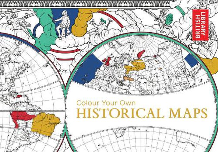
Colour Your Own Historical Maps
British Library
Colour Your Own Historical Maps
British Library
Explore the cartographic treasures of the British Library’s extensive map archive, and add your own colour.
Early maps are often much more highly decorated than our own, featuring fantastical drawings of real or imaginary people and animals that may or may not occupy unknown places. Medieval maps look very different to the maps of today. Significant places were given prominence and historical or religious events were frequently included.
This new colouring book is packed with a series of fascinating hand drawn maps carefully selected from the extensive collection of the British Library, which includes charters and seals, medieval historical and iconic atlas’ from Queen Mary I’s personal collection and King George III’s to detailed drawings from well-known artists such as Nicolas Sanson and William Hack.
Each of the original maps is reproduced in colour, so that you can decide whether you prefer to choose your own colours, or to use the colours that the cartographer intended. With key facts about each of the maps, this is the perfect book for geography lovers, history buffs and colouring-in fanatics alike.
This item is not currently in-stock. It can be ordered online and is expected to ship in approx 2 weeks
Our stock data is updated periodically, and availability may change throughout the day for in-demand items. Please call the relevant shop for the most current stock information. Prices are subject to change without notice.
Sign in or become a Readings Member to add this title to a wishlist.