Readings Newsletter
Become a Readings Member to make your shopping experience even easier.
Sign in or sign up for free!
You’re not far away from qualifying for FREE standard shipping within Australia
You’ve qualified for FREE standard shipping within Australia
The cart is loading…


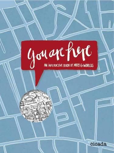
A playful introduction to maps and global geography.
Interactive, warm illustrations allow young readers to learn and engage with the fundamentals of maps by drawing maps of their room, house, and town. Cities are compared to one another in terms of geographical size and population size. Subway maps can be completed and colored in. Countries’ resources, foods, languages, and landmarks are brought to life, by doodling, completing, redesigning, and embellishing the illustrations. Weather maps, climate change, bird migration, and ocean geography also find their place. Plenty of space is left for maps to be drawn, flags to be designed, and transport systems to be built. Finally, a fold-out poster slotted into the back of the book allows readers to create their own world.
The book is printed in four pantone colors, creating a bright, almost neon canvas for the fun within. Printed on heavy creamy paper stock, this is a great gift book that follows on from the success of Cicada Books’s Draw Me a House. Kathrin Jacobsen is an emerging artist embedded in the East London design scene. Her illustration style is humorous and accessible to both adults and children.
$9.00 standard shipping within Australia
FREE standard shipping within Australia for orders over $100.00
Express & International shipping calculated at checkout
A playful introduction to maps and global geography.
Interactive, warm illustrations allow young readers to learn and engage with the fundamentals of maps by drawing maps of their room, house, and town. Cities are compared to one another in terms of geographical size and population size. Subway maps can be completed and colored in. Countries’ resources, foods, languages, and landmarks are brought to life, by doodling, completing, redesigning, and embellishing the illustrations. Weather maps, climate change, bird migration, and ocean geography also find their place. Plenty of space is left for maps to be drawn, flags to be designed, and transport systems to be built. Finally, a fold-out poster slotted into the back of the book allows readers to create their own world.
The book is printed in four pantone colors, creating a bright, almost neon canvas for the fun within. Printed on heavy creamy paper stock, this is a great gift book that follows on from the success of Cicada Books’s Draw Me a House. Kathrin Jacobsen is an emerging artist embedded in the East London design scene. Her illustration style is humorous and accessible to both adults and children.
Search our extensive online catalogue.
