Readings Newsletter
Become a Readings Member to make your shopping experience even easier.
Sign in or sign up for free!
You’re not far away from qualifying for FREE standard shipping within Australia
You’ve qualified for FREE standard shipping within Australia
The cart is loading…


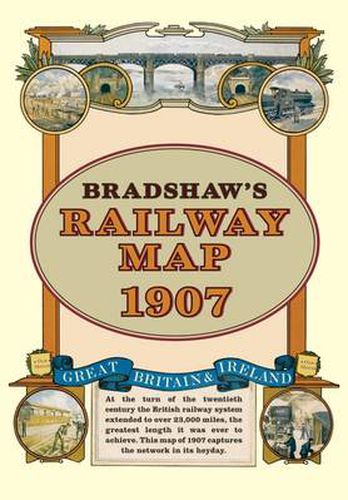
At the turn of the 20th century the rail network extended to over 23,000 miles, very nearly the circumference of the world the greatest length it was ever to achieve. Some urban routes had closed and later, hundreds of rural lines and stations succumbed to the Beeching axe. This map shows the network in its heyday before the decline commenced.
$9.00 standard shipping within Australia
FREE standard shipping within Australia for orders over $100.00
Express & International shipping calculated at checkout
At the turn of the 20th century the rail network extended to over 23,000 miles, very nearly the circumference of the world the greatest length it was ever to achieve. Some urban routes had closed and later, hundreds of rural lines and stations succumbed to the Beeching axe. This map shows the network in its heyday before the decline commenced.
Search our extensive online catalogue.
