Readings Newsletter
Become a Readings Member to make your shopping experience even easier.
Sign in or sign up for free!
You’re not far away from qualifying for FREE standard shipping within Australia
You’ve qualified for FREE standard shipping within Australia
The cart is loading…


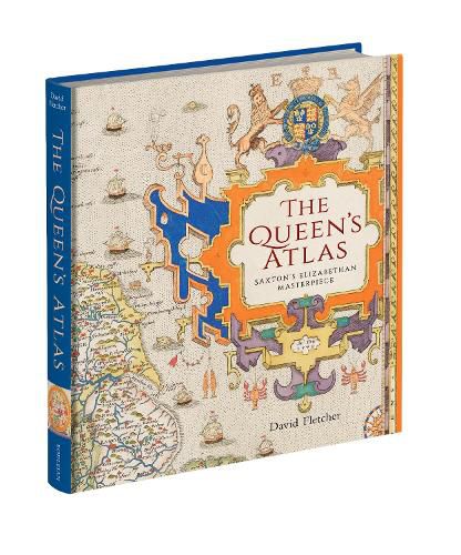
Nowadays, we take for granted the ready availability of maps of all kinds. In mid-Tudor England, they were rare. All this was to change in 1579 when Christopher Saxton, a farmer from the West Riding of Yorkshire, became the first cartographer to make a published atlas of all the counties of England and Wales. This book traces the story of Saxton's life and legacy by reconstructing his extraordinary mapmaking project alongside the crucial nature of the support and encouragement he received from Queen Elizabeth I and her court.
Saxton's atlas became the template for most detailed maps of the country for almost two centuries: it is hard to exaggerate its importance. For many, his atlas provided the first detailed image of England and Wales they had ever seen, showing the Elizabethan kingdom as a whole and in its constituent parts. This lavishly illustrated book reproduces all Saxton's county maps together with many other illustrations revealing the forebears and successors to this groundbreaking work. Today, Saxton's maps give us an invaluable cartographic snapshot of late Tudor England.
'The Queen's Atlas is a truly beautiful reminder that maps are the perfect synthesis of science and art, geography and history, politics, power and propaganda. This fascinating account of Christopher Saxton's life and work is also a time machine, whisking us back to the intrigues of the Tudor court, and its ravenous hunger for knowledge of the lie of its land. Saxton's maps changed the country for ever; with erudite clarity, David Fletcher tells us why, and shows us how.' Mike Parker, author of Map Addict and All the Wide Border
$9.00 standard shipping within Australia
FREE standard shipping within Australia for orders over $100.00
Express & International shipping calculated at checkout
Stock availability can be subject to change without notice. We recommend calling the shop or contacting our online team to check availability of low stock items. Please see our Shopping Online page for more details.
Nowadays, we take for granted the ready availability of maps of all kinds. In mid-Tudor England, they were rare. All this was to change in 1579 when Christopher Saxton, a farmer from the West Riding of Yorkshire, became the first cartographer to make a published atlas of all the counties of England and Wales. This book traces the story of Saxton's life and legacy by reconstructing his extraordinary mapmaking project alongside the crucial nature of the support and encouragement he received from Queen Elizabeth I and her court.
Saxton's atlas became the template for most detailed maps of the country for almost two centuries: it is hard to exaggerate its importance. For many, his atlas provided the first detailed image of England and Wales they had ever seen, showing the Elizabethan kingdom as a whole and in its constituent parts. This lavishly illustrated book reproduces all Saxton's county maps together with many other illustrations revealing the forebears and successors to this groundbreaking work. Today, Saxton's maps give us an invaluable cartographic snapshot of late Tudor England.
'The Queen's Atlas is a truly beautiful reminder that maps are the perfect synthesis of science and art, geography and history, politics, power and propaganda. This fascinating account of Christopher Saxton's life and work is also a time machine, whisking us back to the intrigues of the Tudor court, and its ravenous hunger for knowledge of the lie of its land. Saxton's maps changed the country for ever; with erudite clarity, David Fletcher tells us why, and shows us how.' Mike Parker, author of Map Addict and All the Wide Border
Search our extensive online catalogue.
