Readings Newsletter
Become a Readings Member to make your shopping experience even easier.
Sign in or sign up for free!
You’re not far away from qualifying for FREE standard shipping within Australia
You’ve qualified for FREE standard shipping within Australia
The cart is loading…


PHILIP'S - THE ATLAS BRAND FOR TRUCKERS, CARAVANNERS AND OTHER SERIOUS ROAD USERS
'The best of its kind with quick and easy to use information' Fleet Week
Essential, large, easy-to-read mapping for Truckers (and for Caravanners, too)
Over 4,000 bridges with restrictions - either height, weight or width - located on the maps
Super-clear scale maps of the UK - 'the detail you need at a size you can read'
Special Feature: 'Bridge Strikes' (including 'Most Hit Bridges' - all bridges struck five or more times in a year)
Truck stop/large vehicle listings and location maps, including the facilities and opening times
All approach mapping/urban area maps with bridge restrictions
Large-print index - with 30,000 names
Big format and spiral binding - easy-to-use and easy-to-read on the road
'Even though I have a satnav I find a map essential for planning in stops on long routes.' a trucker customer
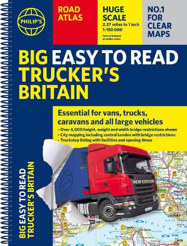
The new Philip's Big Easy to Read Trucker's Road Atlas Britain shows over 4,000 bridges with restrictions - either height, weight or width - and is indispensable for anyone driving a large vehicle, caravan or lorry. Super-clear, large-print maps and packed with the most useful information for drivers of large vehicles.
$9.00 standard shipping within Australia
FREE standard shipping within Australia for orders over $100.00
Express & International shipping calculated at checkout
PHILIP'S - THE ATLAS BRAND FOR TRUCKERS, CARAVANNERS AND OTHER SERIOUS ROAD USERS
'The best of its kind with quick and easy to use information' Fleet Week
Essential, large, easy-to-read mapping for Truckers (and for Caravanners, too)
Over 4,000 bridges with restrictions - either height, weight or width - located on the maps
Super-clear scale maps of the UK - 'the detail you need at a size you can read'
Special Feature: 'Bridge Strikes' (including 'Most Hit Bridges' - all bridges struck five or more times in a year)
Truck stop/large vehicle listings and location maps, including the facilities and opening times
All approach mapping/urban area maps with bridge restrictions
Large-print index - with 30,000 names
Big format and spiral binding - easy-to-use and easy-to-read on the road
'Even though I have a satnav I find a map essential for planning in stops on long routes.' a trucker customer
The new Philip's Big Easy to Read Trucker's Road Atlas Britain shows over 4,000 bridges with restrictions - either height, weight or width - and is indispensable for anyone driving a large vehicle, caravan or lorry. Super-clear, large-print maps and packed with the most useful information for drivers of large vehicles.
Search our extensive online catalogue.
