Readings Newsletter
Become a Readings Member to make your shopping experience even easier.
Sign in or sign up for free!
You’re not far away from qualifying for FREE standard shipping within Australia
You’ve qualified for FREE standard shipping within Australia
The cart is loading…


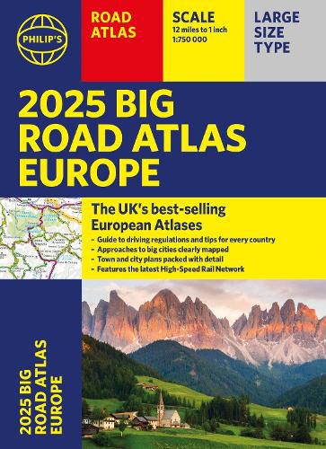
PHILIP'S: THE BEST-SELLING EUROPEAN ATLAS RANGE IN THE UK with 'The clearest and most detailed maps of Europe' David Williams MBE, former CEO Gem Motoring Assist
'The best of its kind with quick, easy-to-use information' Fleet Week
Super-clear main scale at 1:750,000 (12 miles to 1 inch)
Extra pages with scales from 1:200,000 to 1:3M, showing more detail where you need it
Clear mapping of every country in Europe with all the driving regulations for each one
Easy-to-use large A3 format with large maps and large print place names
16-page route planning section, for easy route planning across long distances
50 town and city plans for easy navigation
Over 30 urban area maps to help driving in denser areas
Spectacular scenic routes clearly highlighted
Including a handy map of Europe's High-Speed Rail Network to help plan long distance journeys with ease
Using the most up-to-date mapping technology, this is the ultimate road companion for moving around Europe.
$9.00 standard shipping within Australia
FREE standard shipping within Australia for orders over $100.00
Express & International shipping calculated at checkout
PHILIP'S: THE BEST-SELLING EUROPEAN ATLAS RANGE IN THE UK with 'The clearest and most detailed maps of Europe' David Williams MBE, former CEO Gem Motoring Assist
'The best of its kind with quick, easy-to-use information' Fleet Week
Super-clear main scale at 1:750,000 (12 miles to 1 inch)
Extra pages with scales from 1:200,000 to 1:3M, showing more detail where you need it
Clear mapping of every country in Europe with all the driving regulations for each one
Easy-to-use large A3 format with large maps and large print place names
16-page route planning section, for easy route planning across long distances
50 town and city plans for easy navigation
Over 30 urban area maps to help driving in denser areas
Spectacular scenic routes clearly highlighted
Including a handy map of Europe's High-Speed Rail Network to help plan long distance journeys with ease
Using the most up-to-date mapping technology, this is the ultimate road companion for moving around Europe.
Search our extensive online catalogue.
