


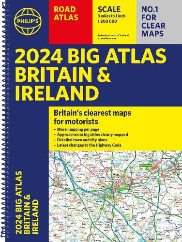
2024 Philip's Big Road Atlas Britain & Ireland
Philip's Maps
2024 Philip’s Big Road Atlas Britain & Ireland
Philip's Maps
Philip's is No. 1 in the UK for clear maps and brings you the latest large spiral-bound format Big Road Atlas Britain and Ireland 2024 with fully updated maps from the Philip's digital database.
'Good balance between detail and clarity with excellent town maps' What Car?
Main scale of maps: 3 miles to 1 inch = 1:200,000 - all fully updated
Latest highway code information
Practical 'more to view per page' A3 lie-flat format
Smart motorways and electric cars explained
Great for planning and driving long journeys or short hops
Philip's: Britain's clearest maps for motorists
Completely updated and revised for 2024 with information on Smart Motorways and electric cars
Map of scenic Britain and a map highlighting railways, airports and ferry ports
Philip's 2024 Big Road Atlas Britain and Ireland contains 96 pages of road maps covering Britain at 3 miles to 1 inch (Scottish Highlands and Western Isles at 4 miles to 1 inch, Orkney and Shetland at 5.25 miles to 1 inch). The maps clearly mark service areas, roundabouts and multi-level junctions for easy navigation, and in rural areas distinguish between roads over and under 4 metres wide - a boon for drivers of wide vehicles.
The atlas also includes a 2-page road map of Ireland, route-planning maps, a distance table, 12 large-scale city approach maps with named arterial roads, and 64 extra-detailed and fully indexed town and city plans.
This item is not currently in-stock. It can be ordered online and is expected to ship in approx 2 weeks
Our stock data is updated periodically, and availability may change throughout the day for in-demand items. Please call the relevant shop for the most current stock information. Prices are subject to change without notice.
Sign in or become a Readings Member to add this title to a wishlist.