


Philip's Street Atlas Norfolk
Philip's Maps
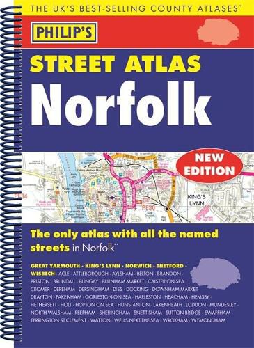
Philip’s Street Atlas Norfolk
Philip's Maps
THE ONLY COUNTY STREET ATLAS WITH ALL THE NAMED STREETS OF NORFOLK
The UK’s best-selling county street atlases
More than 24,000 named streets, roads, lanes and alleys
The essential map book for residents and visitors - and if you’re moving to Norfolk
Includes all the streets in BECCLES, GREAT YARMOUTH, KING’S LYNN, Norwich, Thetford, Attleborough, Aylsham, Brundall, Bungay, Caister-on-Sea, Cromer, Dersingham, Diss, Downham Market, Fakenham, Harleston, Heacham, Hemsby, Hunstanton, Lakenheath, Loddon, North Walsham, Sheringham, Swaffham, Watton, Wells-next-the-Sea, Wisbech, Wymondham
New edition in practical spiral-bound format
Street maps show car parks, schools, hospitals and many other places of interest, even ones off the beaten path
4-page practical route-planning section showing all A and B roads
Super-clear mapping
Easy-to-use index
Scales: 1 inches to 1 mile (1:36,000) and 3 inches to 1 mile (1:18,000). Major towns: 7 inches to 1 mile (1:9,000).
Other information on the maps includes postcode boundaries, car parks, railway and bus stations, post offices, schools, colleges, hospitals, police and fire stations, places of worship, leisure centres, footpaths and bridleways, camping and caravan sites, golf courses, and many other places of interest.
This item is not currently in-stock. It can be ordered online and is expected to ship in approx 2 weeks
Our stock data is updated periodically, and availability may change throughout the day for in-demand items. Please call the relevant shop for the most current stock information. Prices are subject to change without notice.
Sign in or become a Readings Member to add this title to a wishlist.