Readings Newsletter
Become a Readings Member to make your shopping experience even easier.
Sign in or sign up for free!
You’re not far away from qualifying for FREE standard shipping within Australia
You’ve qualified for FREE standard shipping within Australia
The cart is loading…


This title is printed to order. This book may have been self-published. If so, we cannot guarantee the quality of the content. In the main most books will have gone through the editing process however some may not. We therefore suggest that you be aware of this before ordering this book. If in doubt check either the author or publisher’s details as we are unable to accept any returns unless they are faulty. Please contact us if you have any questions.
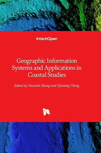
In recent years, geographic information systems (GIS) and their coastal applications have drawn increasing awareness globally, regionally, and locally. These systems are used to monitor, model, and predict coastal zone issues. New technologies, including advances in GIS platforms and techniques, are being adopted and innovatively applied to coastal environments and disasters, coastal resources, coastal social systems, and coastal urban environments using new algorithms, big data processing, and deep learning approaches. This book examines a variety of GIS applications, providing a comprehensive overview of techniques, approaches, and experiences in GIS for coastal zones.
$9.00 standard shipping within Australia
FREE standard shipping within Australia for orders over $100.00
Express & International shipping calculated at checkout
This title is printed to order. This book may have been self-published. If so, we cannot guarantee the quality of the content. In the main most books will have gone through the editing process however some may not. We therefore suggest that you be aware of this before ordering this book. If in doubt check either the author or publisher’s details as we are unable to accept any returns unless they are faulty. Please contact us if you have any questions.
In recent years, geographic information systems (GIS) and their coastal applications have drawn increasing awareness globally, regionally, and locally. These systems are used to monitor, model, and predict coastal zone issues. New technologies, including advances in GIS platforms and techniques, are being adopted and innovatively applied to coastal environments and disasters, coastal resources, coastal social systems, and coastal urban environments using new algorithms, big data processing, and deep learning approaches. This book examines a variety of GIS applications, providing a comprehensive overview of techniques, approaches, and experiences in GIS for coastal zones.