Readings Newsletter
Become a Readings Member to make your shopping experience even easier.
Sign in or sign up for free!
You’re not far away from qualifying for FREE standard shipping within Australia
You’ve qualified for FREE standard shipping within Australia
The cart is loading…


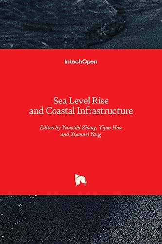
Sea level rise and coastal erosion had drawn an increasing awareness recently as the repercussion of increase of sea level and coastal erosion would reshape the earth’s system and induce a tremendous loss in ecological or economics cost. Governments are dedicated to meliorate the occurrence of these phenomena, or else all creations on the earth will suffer from the catastrophe. Global warming is one of the crucial factors resulting in the increase of sea level and coastal erosion. Remote sensing and geographic information systems (GIS) technologies are thoroughly adopted and applied to monitor the dynamic change of the nature system, such as coastal land use and land cover, sea level rise, and coastal infrastructure.
$9.00 standard shipping within Australia
FREE standard shipping within Australia for orders over $100.00
Express & International shipping calculated at checkout
Sea level rise and coastal erosion had drawn an increasing awareness recently as the repercussion of increase of sea level and coastal erosion would reshape the earth’s system and induce a tremendous loss in ecological or economics cost. Governments are dedicated to meliorate the occurrence of these phenomena, or else all creations on the earth will suffer from the catastrophe. Global warming is one of the crucial factors resulting in the increase of sea level and coastal erosion. Remote sensing and geographic information systems (GIS) technologies are thoroughly adopted and applied to monitor the dynamic change of the nature system, such as coastal land use and land cover, sea level rise, and coastal infrastructure.