Readings Newsletter
Become a Readings Member to make your shopping experience even easier.
Sign in or sign up for free!
You’re not far away from qualifying for FREE standard shipping within Australia
You’ve qualified for FREE standard shipping within Australia
The cart is loading…


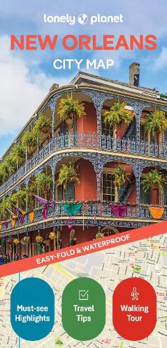
Experience your dream trip with Lonely Planet's New Orleans City Map, the ultimate travel tool to help you plan and navigate your way around amazing local sights, landmarks and attractions.
Cycle the historic 2.6 mile Lafitte Greenway, breathe in the fresh air in shady Audubon Park, explore three centuries of Louisiana history at the Cabildo, and decide where you want to go next and what you want to see in each of the city's exciting neighbourhoods.
Inside Lonely Planet's New Orleans City Map:
Full colour map in a durable easy-fold format Waterproof and packaged in a handy slipcase Alphanumeric grid to find points of interest easily Public transport explained to help you get around Top picks of must-see highlights including Frenchmen Street, National WWII Museum, and St Louis Cathedral Essential travel tips and nuts and bolts information on money, food & drink, festivals and events Beautiful photography and bonus zoomed-in map of Mid-City, Esplanade Ridge & Bayou St John Covers: French Quarter; Garden District; Gretna; Irish Channel; Lower Garden District; Mid-City; Riverbend; St Roch; The Treme; Uptown; Warehouse District
Get ready for your next adventure with Lonely Planet's New Orleans City Map, the ultimate navigation tool to help you explore New Orleans' well-known attractions and best-kept secrets.
$9.00 standard shipping within Australia
FREE standard shipping within Australia for orders over $100.00
Express & International shipping calculated at checkout
Experience your dream trip with Lonely Planet's New Orleans City Map, the ultimate travel tool to help you plan and navigate your way around amazing local sights, landmarks and attractions.
Cycle the historic 2.6 mile Lafitte Greenway, breathe in the fresh air in shady Audubon Park, explore three centuries of Louisiana history at the Cabildo, and decide where you want to go next and what you want to see in each of the city's exciting neighbourhoods.
Inside Lonely Planet's New Orleans City Map:
Full colour map in a durable easy-fold format Waterproof and packaged in a handy slipcase Alphanumeric grid to find points of interest easily Public transport explained to help you get around Top picks of must-see highlights including Frenchmen Street, National WWII Museum, and St Louis Cathedral Essential travel tips and nuts and bolts information on money, food & drink, festivals and events Beautiful photography and bonus zoomed-in map of Mid-City, Esplanade Ridge & Bayou St John Covers: French Quarter; Garden District; Gretna; Irish Channel; Lower Garden District; Mid-City; Riverbend; St Roch; The Treme; Uptown; Warehouse District
Get ready for your next adventure with Lonely Planet's New Orleans City Map, the ultimate navigation tool to help you explore New Orleans' well-known attractions and best-kept secrets.
Search our extensive online catalogue.
