Readings Newsletter
Become a Readings Member to make your shopping experience even easier.
Sign in or sign up for free!
You’re not far away from qualifying for FREE standard shipping within Australia
You’ve qualified for FREE standard shipping within Australia
The cart is loading…


Plans included:
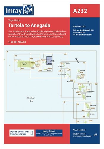
Road Harbour & Approaches (Tortola) (1:20 000) Virgin Gorda Yacht Harbour (Virgin Gorda) (1:20 000) South Sound (Virgin Gorda) (1:20 000) Gorda Sound (Virgin Gorda) (1:25 000) Great Camanoe to Scrub Island (1:20 000) Fat Hogs Bay & Maya Cove (Tortola) (1:20 000)
Imray-Iolaire charts for the Caribbean are widely acknowledged as the best available for the cruising sailor. They combine the latest official survey data with first-hand information gathered over 60 years of research by Don Street Jr and his wide network of contributors. Like all Imray charts, they are printed on water resistant Pretex paper for durability, and they include many anchorages, facilities and inlets not included on official charts.
$9.00 standard shipping within Australia
FREE standard shipping within Australia for orders over $100.00
Express & International shipping calculated at checkout
Stock availability can be subject to change without notice. We recommend calling the shop or contacting our online team to check availability of low stock items. Please see our Shopping Online page for more details.
Plans included:
Road Harbour & Approaches (Tortola) (1:20 000) Virgin Gorda Yacht Harbour (Virgin Gorda) (1:20 000) South Sound (Virgin Gorda) (1:20 000) Gorda Sound (Virgin Gorda) (1:25 000) Great Camanoe to Scrub Island (1:20 000) Fat Hogs Bay & Maya Cove (Tortola) (1:20 000)
Imray-Iolaire charts for the Caribbean are widely acknowledged as the best available for the cruising sailor. They combine the latest official survey data with first-hand information gathered over 60 years of research by Don Street Jr and his wide network of contributors. Like all Imray charts, they are printed on water resistant Pretex paper for durability, and they include many anchorages, facilities and inlets not included on official charts.
Search our extensive online catalogue.
