Readings Newsletter
Become a Readings Member to make your shopping experience even easier.
Sign in or sign up for free!
You’re not far away from qualifying for FREE standard shipping within Australia
You’ve qualified for FREE standard shipping within Australia
The cart is loading…


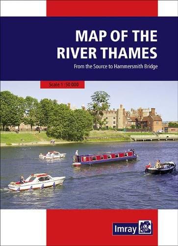
Full information on boating facilities is included in the mapping, as are all the essential details on restricting dimensions, locks and bridges. Also shown are pubs, the Thames Path and other features of special interest. Large-scale insets of Oxford, Abingdon, Reading, Henley, Windsor and Eton, the River Wey junction and the entrance to the Grand Union Canal add to the clarity of this well presented map.
$9.00 standard shipping within Australia
FREE standard shipping within Australia for orders over $100.00
Express & International shipping calculated at checkout
Full information on boating facilities is included in the mapping, as are all the essential details on restricting dimensions, locks and bridges. Also shown are pubs, the Thames Path and other features of special interest. Large-scale insets of Oxford, Abingdon, Reading, Henley, Windsor and Eton, the River Wey junction and the entrance to the Grand Union Canal add to the clarity of this well presented map.
Search our extensive online catalogue.
