Readings Newsletter
Become a Readings Member to make your shopping experience even easier.
Sign in or sign up for free!
You’re not far away from qualifying for FREE standard shipping within Australia
You’ve qualified for FREE standard shipping within Australia
The cart is loading…


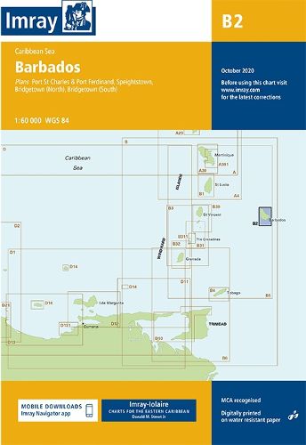
Caribbean Sea
Plans included:
Port St Charles & Port Ferdinand (sketch plan) Speightstown (1:15 000) Bridgetown (North) (1:20 000) Bridgetown (South) (1:20 000)
On this 2018 edition port development at Bridgetown is included. The plan of Port St Charles has been reschemed to include Port Ferdinand. The chart specification has been improved to show coloured light flashes. There has been general updating throughout.
$9.00 standard shipping within Australia
FREE standard shipping within Australia for orders over $100.00
Express & International shipping calculated at checkout
Caribbean Sea
Plans included:
Port St Charles & Port Ferdinand (sketch plan) Speightstown (1:15 000) Bridgetown (North) (1:20 000) Bridgetown (South) (1:20 000)
On this 2018 edition port development at Bridgetown is included. The plan of Port St Charles has been reschemed to include Port Ferdinand. The chart specification has been improved to show coloured light flashes. There has been general updating throughout.
Search our extensive online catalogue.
