Readings Newsletter
Become a Readings Member to make your shopping experience even easier.
Sign in or sign up for free!
You’re not far away from qualifying for FREE standard shipping within Australia
You’ve qualified for FREE standard shipping within Australia
The cart is loading…


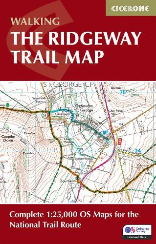
A booklet of all the mapping needed to complete the Ridgeway National Trail between Avebury in Wiltshire and Ivinghoe Beacon in Buckinghamshire. Covering 139km (87 miles), this mostly low-level route is suitable for all abilities and takes 6 to 9 days to hike.
The full route line is shown on 1:25,000 OS maps The trail map can be used to walk the trail in either direction Sized to easily fit in a jacket pocket Detours and diversions to nearby historical and archaeological sites are also provided An accompanying Cicerone guidebook - Walking the Ridgeway - is also available, which includes a copy of this map booklet The relevant extract from the OS Explorer map legend is included
$9.00 standard shipping within Australia
FREE standard shipping within Australia for orders over $100.00
Express & International shipping calculated at checkout
Stock availability can be subject to change without notice. We recommend calling the shop or contacting our online team to check availability of low stock items. Please see our Shopping Online page for more details.
A booklet of all the mapping needed to complete the Ridgeway National Trail between Avebury in Wiltshire and Ivinghoe Beacon in Buckinghamshire. Covering 139km (87 miles), this mostly low-level route is suitable for all abilities and takes 6 to 9 days to hike.
The full route line is shown on 1:25,000 OS maps The trail map can be used to walk the trail in either direction Sized to easily fit in a jacket pocket Detours and diversions to nearby historical and archaeological sites are also provided An accompanying Cicerone guidebook - Walking the Ridgeway - is also available, which includes a copy of this map booklet The relevant extract from the OS Explorer map legend is included
Search our extensive online catalogue.
