Readings Newsletter
Become a Readings Member to make your shopping experience even easier.
Sign in or sign up for free!
You’re not far away from qualifying for FREE standard shipping within Australia
You’ve qualified for FREE standard shipping within Australia
The cart is loading…


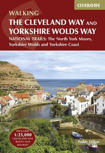
A guidebook to the Cleveland Way and Yorkshire Wolds Way National Trails and the Tabular Hills Walk. All set within the North York Moors National Park, these straightforward routes can be walked individually in about 1 week or combined to form a long-distance walk of 405km (252 miles) taking 3 weeks.
The Cleveland Way wraps its way around the national park covering 117km (110 miles) between Helmsley and Filey. The route is presented in 9 stages between 15 and 28km (10-17 miles) in length.
Also contains route descriptions of the Yorkshire Wolds Way (130km, 80 miles) and the Tabular Hills Walk (80km, 50 miles) Contains step-by-step description of the route alongside 1:50,000 OS maps Includes a separate map booklet containing OS 1:25,000 mapping and route line for the Cleveland Way The book features a trek planner that highlights information about accommodation, facilities and public transport along the route GPX files available to download
$9.00 standard shipping within Australia
FREE standard shipping within Australia for orders over $100.00
Express & International shipping calculated at checkout
Stock availability can be subject to change without notice. We recommend calling the shop or contacting our online team to check availability of low stock items. Please see our Shopping Online page for more details.
A guidebook to the Cleveland Way and Yorkshire Wolds Way National Trails and the Tabular Hills Walk. All set within the North York Moors National Park, these straightforward routes can be walked individually in about 1 week or combined to form a long-distance walk of 405km (252 miles) taking 3 weeks.
The Cleveland Way wraps its way around the national park covering 117km (110 miles) between Helmsley and Filey. The route is presented in 9 stages between 15 and 28km (10-17 miles) in length.
Also contains route descriptions of the Yorkshire Wolds Way (130km, 80 miles) and the Tabular Hills Walk (80km, 50 miles) Contains step-by-step description of the route alongside 1:50,000 OS maps Includes a separate map booklet containing OS 1:25,000 mapping and route line for the Cleveland Way The book features a trek planner that highlights information about accommodation, facilities and public transport along the route GPX files available to download
Search our extensive online catalogue.
