Readings Newsletter
Become a Readings Member to make your shopping experience even easier.
Sign in or sign up for free!
You’re not far away from qualifying for FREE standard shipping within Australia
You’ve qualified for FREE standard shipping within Australia
The cart is loading…


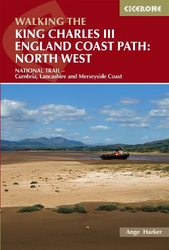
A guidebook to walking the northwest section of the King Charles III England Coast Path between Gretna and Chester. Covering 590km (367 miles), this straightforward trail along the Cumbria, Lancashire and Merseyside coast takes around 1 month to hike.
The route is described from north to south in 28 stages between 13 and 29km (8-18 miles) in length.
Contains step-by-step description of the route alongside 1:50,000 OS maps Refreshment information given for each route stage Public transport by stage is listed for those wanting to break the trail into shorter sections Handy trek planner, route summary tables and accommodation listings help you plan your itinerary Accompanying map booklets containing OS 1:25,000 mapping and route line are also available
$9.00 standard shipping within Australia
FREE standard shipping within Australia for orders over $100.00
Express & International shipping calculated at checkout
A guidebook to walking the northwest section of the King Charles III England Coast Path between Gretna and Chester. Covering 590km (367 miles), this straightforward trail along the Cumbria, Lancashire and Merseyside coast takes around 1 month to hike.
The route is described from north to south in 28 stages between 13 and 29km (8-18 miles) in length.
Contains step-by-step description of the route alongside 1:50,000 OS maps Refreshment information given for each route stage Public transport by stage is listed for those wanting to break the trail into shorter sections Handy trek planner, route summary tables and accommodation listings help you plan your itinerary Accompanying map booklets containing OS 1:25,000 mapping and route line are also available
Search our extensive online catalogue.
