Readings Newsletter
Become a Readings Member to make your shopping experience even easier.
Sign in or sign up for free!
You’re not far away from qualifying for FREE standard shipping within Australia
You’ve qualified for FREE standard shipping within Australia
The cart is loading…


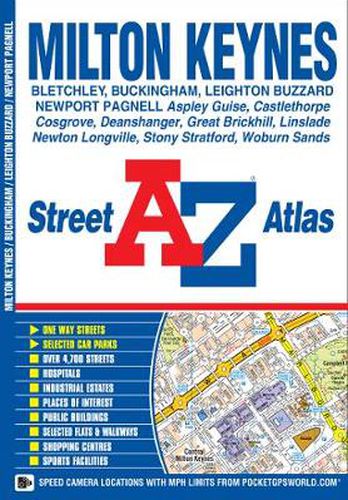
This A-Z map of Milton Keynes, Buckingham and Leighton Buzzard is a full colour street atlas featuring 25 pages of street mapping. *Milton Keynes coverage extends to Bletchley, Castlethorpe, Deanshanger, Kingston, Newport Pagnell, Newton Longville, Stony Stratford and Woburn Sands.
Leighton Buzzard coverage extends to Great Brickhill, Heath & Reach and Linslade. Buckingham coverage extends to Maids Moreton and Mount Pleasant.
There is an dedicated coloured road map of the Milton Keynes grid road system showing vertical and horizontal road numbers.
Postcode districts, one-way streets and safety camera locations with their maximum speed limit are featured on the street mapping.
The index section lists streets, selected flats, walkways and places of interest, place, area and station names, hospitals and hospices covered by this atlas.
$9.00 standard shipping within Australia
FREE standard shipping within Australia for orders over $100.00
Express & International shipping calculated at checkout
This A-Z map of Milton Keynes, Buckingham and Leighton Buzzard is a full colour street atlas featuring 25 pages of street mapping. *Milton Keynes coverage extends to Bletchley, Castlethorpe, Deanshanger, Kingston, Newport Pagnell, Newton Longville, Stony Stratford and Woburn Sands.
Leighton Buzzard coverage extends to Great Brickhill, Heath & Reach and Linslade. Buckingham coverage extends to Maids Moreton and Mount Pleasant.
There is an dedicated coloured road map of the Milton Keynes grid road system showing vertical and horizontal road numbers.
Postcode districts, one-way streets and safety camera locations with their maximum speed limit are featured on the street mapping.
The index section lists streets, selected flats, walkways and places of interest, place, area and station names, hospitals and hospices covered by this atlas.
Search our extensive online catalogue.
