Readings Newsletter
Become a Readings Member to make your shopping experience even easier.
Sign in or sign up for free!
You’re not far away from qualifying for FREE standard shipping within Australia
You’ve qualified for FREE standard shipping within Australia
The cart is loading…


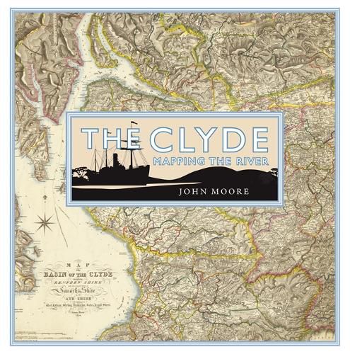
The Clyde is arguably the most evocative of Scottish rivers. Its mention conjures up a variety of images of power, productivity and pleasure from its ‘bonnie banks’ through the orchards of south Lanarkshire to its association with shipbuilding and trade and the holiday memories of thousands who fondly remember going ‘doon the watter’. Its story reflects much of the history of the lands it flows through and the people who live on its banks.
This book looks at the maps which display the river itself from its source to the wide estuary which is as much a part of the whole image. It discusses how the river was mapped from its earliest depictions and includes such topics as navigation, river crossings, war and defence, tourism, sport and recreation, industry and power and urban development.
$9.00 standard shipping within Australia
FREE standard shipping within Australia for orders over $100.00
Express & International shipping calculated at checkout
Stock availability can be subject to change without notice. We recommend calling the shop or contacting our online team to check availability of low stock items. Please see our Shopping Online page for more details.
The Clyde is arguably the most evocative of Scottish rivers. Its mention conjures up a variety of images of power, productivity and pleasure from its ‘bonnie banks’ through the orchards of south Lanarkshire to its association with shipbuilding and trade and the holiday memories of thousands who fondly remember going ‘doon the watter’. Its story reflects much of the history of the lands it flows through and the people who live on its banks.
This book looks at the maps which display the river itself from its source to the wide estuary which is as much a part of the whole image. It discusses how the river was mapped from its earliest depictions and includes such topics as navigation, river crossings, war and defence, tourism, sport and recreation, industry and power and urban development.
Search our extensive online catalogue.
