Readings Newsletter
Become a Readings Member to make your shopping experience even easier.
Sign in or sign up for free!
You’re not far away from qualifying for FREE standard shipping within Australia
You’ve qualified for FREE standard shipping within Australia
The cart is loading…


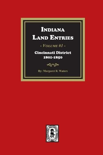
By: Margaret R. Waters, Pub. 1948, reprinted 2023, 253 pages, Index, soft cover, ISBN #978-1-63914-122-7.
The earliest land records of Indiana Territory go back to 1801, when a land office was established in Cincinnati. Tracts were surveyed according to the rectangular survey system first adopted in Ohio. The earliest tract books, published here, contain the records of the Cincinnati District and extend from April 1801 to August 1840. The area covered is mainly a district known as the "wedge" or "gore," located in the southeastern part of the state and bounded roughly by the Ohio-Indiana state line, the Ohio River, and the Greenville Treaty Line. It comprises all of the present counties of Ohio, Dearborn, Union, and Wayne; most of Switzerland, Fayette, Franklin, and Randolph; and a partial section of Jay. These records give the names of about 10,000 purchasers of land in the Cincinnati District as well as the specific location of their land and the date of the record.
$9.00 standard shipping within Australia
FREE standard shipping within Australia for orders over $100.00
Express & International shipping calculated at checkout
By: Margaret R. Waters, Pub. 1948, reprinted 2023, 253 pages, Index, soft cover, ISBN #978-1-63914-122-7.
The earliest land records of Indiana Territory go back to 1801, when a land office was established in Cincinnati. Tracts were surveyed according to the rectangular survey system first adopted in Ohio. The earliest tract books, published here, contain the records of the Cincinnati District and extend from April 1801 to August 1840. The area covered is mainly a district known as the "wedge" or "gore," located in the southeastern part of the state and bounded roughly by the Ohio-Indiana state line, the Ohio River, and the Greenville Treaty Line. It comprises all of the present counties of Ohio, Dearborn, Union, and Wayne; most of Switzerland, Fayette, Franklin, and Randolph; and a partial section of Jay. These records give the names of about 10,000 purchasers of land in the Cincinnati District as well as the specific location of their land and the date of the record.
Search our extensive online catalogue.
