Readings Newsletter
Become a Readings Member to make your shopping experience even easier.
Sign in or sign up for free!
You’re not far away from qualifying for FREE standard shipping within Australia
You’ve qualified for FREE standard shipping within Australia
The cart is loading…


This title is printed to order. This book may have been self-published. If so, we cannot guarantee the quality of the content. In the main most books will have gone through the editing process however some may not. We therefore suggest that you be aware of this before ordering this book. If in doubt check either the author or publisher’s details as we are unable to accept any returns unless they are faulty. Please contact us if you have any questions.
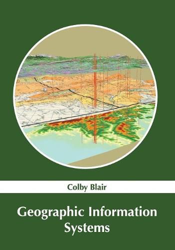
A geographic information system (GIS) is a modern technology that is designed to capture, analyze, store and manipulate geographic or spatial data. GIS can be used for editing data in maps, creating interactive queries, analyzing spatial information, etc. Such applications of GIS enable location-enabled services, which depend on visualization and analysis. Such services are of use in diverse areas of science, engineering, defense, sustainable development, transport, climatology, telecommunications, etc. GIS can be applied for data analysis, hydrological modeling, topological modeling, data output and cartography, among others. This book elucidates the concepts and innovative models around prospective developments with respect to geographic information systems. It elucidates new techniques and their applications in a multidisciplinary manner. In this book, constant effort has been made to make the understanding of the difficult concepts of geographic information systems, as easy and informative as possible, for the readers.
$9.00 standard shipping within Australia
FREE standard shipping within Australia for orders over $100.00
Express & International shipping calculated at checkout
This title is printed to order. This book may have been self-published. If so, we cannot guarantee the quality of the content. In the main most books will have gone through the editing process however some may not. We therefore suggest that you be aware of this before ordering this book. If in doubt check either the author or publisher’s details as we are unable to accept any returns unless they are faulty. Please contact us if you have any questions.
A geographic information system (GIS) is a modern technology that is designed to capture, analyze, store and manipulate geographic or spatial data. GIS can be used for editing data in maps, creating interactive queries, analyzing spatial information, etc. Such applications of GIS enable location-enabled services, which depend on visualization and analysis. Such services are of use in diverse areas of science, engineering, defense, sustainable development, transport, climatology, telecommunications, etc. GIS can be applied for data analysis, hydrological modeling, topological modeling, data output and cartography, among others. This book elucidates the concepts and innovative models around prospective developments with respect to geographic information systems. It elucidates new techniques and their applications in a multidisciplinary manner. In this book, constant effort has been made to make the understanding of the difficult concepts of geographic information systems, as easy and informative as possible, for the readers.