Readings Newsletter
Become a Readings Member to make your shopping experience even easier.
Sign in or sign up for free!
You’re not far away from qualifying for FREE standard shipping within Australia
You’ve qualified for FREE standard shipping within Australia
The cart is loading…


Examining maps and placemaking during negotiations between Indigenous people and colonial settlers
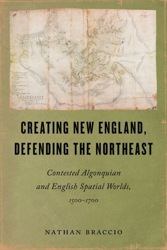
Between 1500 and 1700, Indigenous and English mapmakers across the North Atlantic depicted present-day New England in markedly distinct ways, highlighting how differently their communities understood the landscape. While English cartographers relied on new mathematics and other developing scientific knowledge from Europe, as well as an overhead perspective of the world, Algonquian mapmakers drew on deep knowledge of the landscape, derived from their communities' long history upon it. Nathan Braccio refers to this phenomenon as 'parallel landscapes.'
Creating New England, Defending the Northeast asserts that Algonquian knowledge of the landscape represented a powerful and persistent alternative to English surveying and mapmaking in the Northeast. When English colonists and explorers recognized the unsuitability of their techniques for understanding New England's unfamiliar landscape, they attempted to appropriate Indigenous knowledge and maps. Algonquian sachems used this as an opportunity to control and benefit from their new English neighbors. Later, as the English became insecure in their dependence on Indigenous people, they began to remake and mark the landscape. Algonquians adapted, maintaining control of important spatial knowledge, even in a place no longer entirely of their making. This story complicates narratives of conquest and highlights the Indigenous spatial knowledge too often overlooked.
$9.00 standard shipping within Australia
FREE standard shipping within Australia for orders over $100.00
Express & International shipping calculated at checkout
Examining maps and placemaking during negotiations between Indigenous people and colonial settlers
Between 1500 and 1700, Indigenous and English mapmakers across the North Atlantic depicted present-day New England in markedly distinct ways, highlighting how differently their communities understood the landscape. While English cartographers relied on new mathematics and other developing scientific knowledge from Europe, as well as an overhead perspective of the world, Algonquian mapmakers drew on deep knowledge of the landscape, derived from their communities' long history upon it. Nathan Braccio refers to this phenomenon as 'parallel landscapes.'
Creating New England, Defending the Northeast asserts that Algonquian knowledge of the landscape represented a powerful and persistent alternative to English surveying and mapmaking in the Northeast. When English colonists and explorers recognized the unsuitability of their techniques for understanding New England's unfamiliar landscape, they attempted to appropriate Indigenous knowledge and maps. Algonquian sachems used this as an opportunity to control and benefit from their new English neighbors. Later, as the English became insecure in their dependence on Indigenous people, they began to remake and mark the landscape. Algonquians adapted, maintaining control of important spatial knowledge, even in a place no longer entirely of their making. This story complicates narratives of conquest and highlights the Indigenous spatial knowledge too often overlooked.