Readings Newsletter
Become a Readings Member to make your shopping experience even easier.
Sign in or sign up for free!
You’re not far away from qualifying for FREE standard shipping within Australia
You’ve qualified for FREE standard shipping within Australia
The cart is loading…


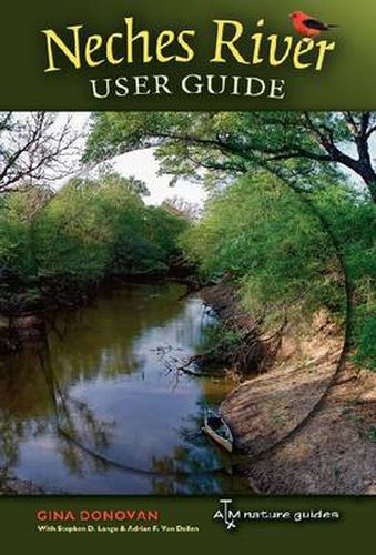
The Neches River winds through a large portion of Texas’ scarce public lands, and Neches River User Guide , a project of the Texas Conservation Alliance, offers outdoor enthusiasts a menu of ways to enjoy this wild Texas river. As users flip through this guide book, its user-friendly maps will reveal the towns, roads, entry points, bridges, public lands, parks, and other landmarks along nearly 360 miles of the river’s course. Each map details practical information about public access points, potential hazards, camping facilities, and GPS coordinates for points of interest. The guide also includes a brief description of the archeology and history of human habitation along the river, as well as photographs of plants and animals common in the bottomland hardwood ecosystem. A final note on conservation efforts, past and present, will help readers join in protecting the river for future generations.
$9.00 standard shipping within Australia
FREE standard shipping within Australia for orders over $100.00
Express & International shipping calculated at checkout
The Neches River winds through a large portion of Texas’ scarce public lands, and Neches River User Guide , a project of the Texas Conservation Alliance, offers outdoor enthusiasts a menu of ways to enjoy this wild Texas river. As users flip through this guide book, its user-friendly maps will reveal the towns, roads, entry points, bridges, public lands, parks, and other landmarks along nearly 360 miles of the river’s course. Each map details practical information about public access points, potential hazards, camping facilities, and GPS coordinates for points of interest. The guide also includes a brief description of the archeology and history of human habitation along the river, as well as photographs of plants and animals common in the bottomland hardwood ecosystem. A final note on conservation efforts, past and present, will help readers join in protecting the river for future generations.
Search our extensive online catalogue.
