Readings Newsletter
Become a Readings Member to make your shopping experience even easier.
Sign in or sign up for free!
You’re not far away from qualifying for FREE standard shipping within Australia
You’ve qualified for FREE standard shipping within Australia
The cart is loading…


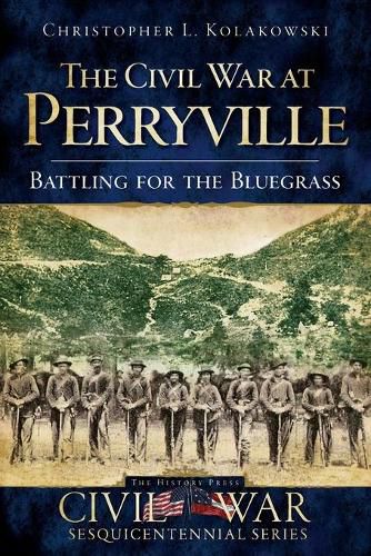
Desperate to seize control of Kentucky, the Confederate army launched an invasion into the commonwealth in the fall of 1862, viciously culminating at an otherwise quiet Bluegrass crossroads and forever altering the landscape of the war. The Battle of Perryville lasted just one day yet produced nearly eight thousand combined casualties and losses, and some say nary a victor. The Rebel army was forced to retreat, and the United States kept its imperative grasp on Kentucky throughout the war. Few know this hallowed ground like Christopher L. Kolakowski, former director of the Perryville Battlefield Preservation Association, who draws on letters, reports, memoirs and other primary sources to offer the most accessible and engaging account of the Kentucky Campaign yet, featuring over sixty historic images and maps.
$9.00 standard shipping within Australia
FREE standard shipping within Australia for orders over $100.00
Express & International shipping calculated at checkout
Desperate to seize control of Kentucky, the Confederate army launched an invasion into the commonwealth in the fall of 1862, viciously culminating at an otherwise quiet Bluegrass crossroads and forever altering the landscape of the war. The Battle of Perryville lasted just one day yet produced nearly eight thousand combined casualties and losses, and some say nary a victor. The Rebel army was forced to retreat, and the United States kept its imperative grasp on Kentucky throughout the war. Few know this hallowed ground like Christopher L. Kolakowski, former director of the Perryville Battlefield Preservation Association, who draws on letters, reports, memoirs and other primary sources to offer the most accessible and engaging account of the Kentucky Campaign yet, featuring over sixty historic images and maps.
Search our extensive online catalogue.
