Readings Newsletter
Become a Readings Member to make your shopping experience even easier.
Sign in or sign up for free!
You’re not far away from qualifying for FREE standard shipping within Australia
You’ve qualified for FREE standard shipping within Australia
The cart is loading…


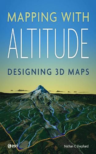
Explore and master another dimension.
Spatial information that is inherently 3D, like buildings, topography, and subsurface geology, can be displayed in a way that is both intuitive and measurable. What’s more, 3D representations can be used to model structures before they are built, identifying potential problems.
Mapping with Altitude: Designing 3D Maps helps you deliver clear, compelling cartographic representations in 3D that are both eye-catching and informative. Understand scale, surfaces, base heights, texturing, and lighting models. Discover new twists on well-defined 2D cartographic principles, such as size, color, and text. Consider ways to convey time.
Mapping with Altitude focuses on the decisions you’ll make and the specific techniques you can use as you delve into the world of 3D map authoring.
$9.00 standard shipping within Australia
FREE standard shipping within Australia for orders over $100.00
Express & International shipping calculated at checkout
Stock availability can be subject to change without notice. We recommend calling the shop or contacting our online team to check availability of low stock items. Please see our Shopping Online page for more details.
Explore and master another dimension.
Spatial information that is inherently 3D, like buildings, topography, and subsurface geology, can be displayed in a way that is both intuitive and measurable. What’s more, 3D representations can be used to model structures before they are built, identifying potential problems.
Mapping with Altitude: Designing 3D Maps helps you deliver clear, compelling cartographic representations in 3D that are both eye-catching and informative. Understand scale, surfaces, base heights, texturing, and lighting models. Discover new twists on well-defined 2D cartographic principles, such as size, color, and text. Consider ways to convey time.
Mapping with Altitude focuses on the decisions you’ll make and the specific techniques you can use as you delve into the world of 3D map authoring.
Search our extensive online catalogue.
