Readings Newsletter
Become a Readings Member to make your shopping experience even easier.
Sign in or sign up for free!
You’re not far away from qualifying for FREE standard shipping within Australia
You’ve qualified for FREE standard shipping within Australia
The cart is loading…


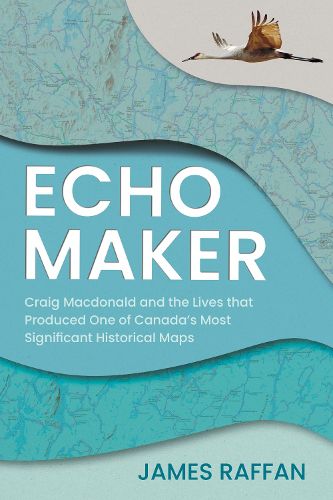
In an example of truth and reconciliation put into practice, Craig Macdonald spent decades creating a unique map of Temagami, developed through trust and experience, in partnership with the Teme-Augama Anishnabai.
James Raffan's biography of Craig Macdonald and how the Historical Map of Temagami came to be is a remarkable tale. In the mid-1960s, Macdonald began interviewing and travelling with Indigenous trappers and travellers. He became familiar with Anishinaabemowin and built a lasting bond with the traditional knowledge holders. Returning year after year to map the land, Macdonald painstakingly plotted traditional placenames, original shorelines, elevations, and traditional summer and winter travel routes - including the documentation of more than twelve hundred canoe portages and winter snowshoe trails. His map is unique in the Canadian cartographic canon, and its genesis is a story that has never been told, until now.
$9.00 standard shipping within Australia
FREE standard shipping within Australia for orders over $100.00
Express & International shipping calculated at checkout
Stock availability can be subject to change without notice. We recommend calling the shop or contacting our online team to check availability of low stock items. Please see our Shopping Online page for more details.
In an example of truth and reconciliation put into practice, Craig Macdonald spent decades creating a unique map of Temagami, developed through trust and experience, in partnership with the Teme-Augama Anishnabai.
James Raffan's biography of Craig Macdonald and how the Historical Map of Temagami came to be is a remarkable tale. In the mid-1960s, Macdonald began interviewing and travelling with Indigenous trappers and travellers. He became familiar with Anishinaabemowin and built a lasting bond with the traditional knowledge holders. Returning year after year to map the land, Macdonald painstakingly plotted traditional placenames, original shorelines, elevations, and traditional summer and winter travel routes - including the documentation of more than twelve hundred canoe portages and winter snowshoe trails. His map is unique in the Canadian cartographic canon, and its genesis is a story that has never been told, until now.
Search our extensive online catalogue.
