Readings Newsletter
Become a Readings Member to make your shopping experience even easier.
Sign in or sign up for free!
You’re not far away from qualifying for FREE standard shipping within Australia
You’ve qualified for FREE standard shipping within Australia
The cart is loading…


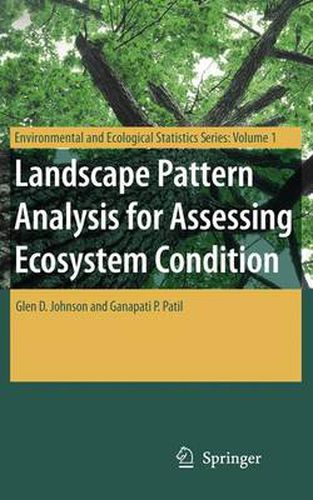
This book presents a new method for assessing spatial pattern in raster land cover maps based on satellite imagery in a way that incorporates multiple pixel resolutions. This is combined with more conventional single-resolution measurements of spatial pattern and simple non-spatial land cover proportions to assess predictability of both surface water quality and ecological integrity within watersheds of the state of Pennsylvania (USA).
$9.00 standard shipping within Australia
FREE standard shipping within Australia for orders over $100.00
Express & International shipping calculated at checkout
This book presents a new method for assessing spatial pattern in raster land cover maps based on satellite imagery in a way that incorporates multiple pixel resolutions. This is combined with more conventional single-resolution measurements of spatial pattern and simple non-spatial land cover proportions to assess predictability of both surface water quality and ecological integrity within watersheds of the state of Pennsylvania (USA).