Readings Newsletter
Become a Readings Member to make your shopping experience even easier.
Sign in or sign up for free!
You’re not far away from qualifying for FREE standard shipping within Australia
You’ve qualified for FREE standard shipping within Australia
The cart is loading…


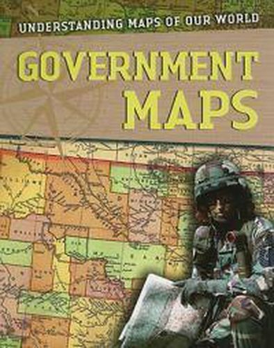
This book shows some of the ways geography is used in the political realm. In peacetime, governments use maps to chart land ownership, boundaries, and population distribution in order to ensure that public services are close and available to the people who need them. In war, strategists use maps to track the enemy and, often, as instruments of propaganda.
$9.00 standard shipping within Australia
FREE standard shipping within Australia for orders over $100.00
Express & International shipping calculated at checkout
Stock availability can be subject to change without notice. We recommend calling the shop or contacting our online team to check availability of low stock items. Please see our Shopping Online page for more details.
This book shows some of the ways geography is used in the political realm. In peacetime, governments use maps to chart land ownership, boundaries, and population distribution in order to ensure that public services are close and available to the people who need them. In war, strategists use maps to track the enemy and, often, as instruments of propaganda.
Search our extensive online catalogue.
