Readings Newsletter
Become a Readings Member to make your shopping experience even easier.
Sign in or sign up for free!
You’re not far away from qualifying for FREE standard shipping within Australia
You’ve qualified for FREE standard shipping within Australia
The cart is loading…


This title is printed to order. This book may have been self-published. If so, we cannot guarantee the quality of the content. In the main most books will have gone through the editing process however some may not. We therefore suggest that you be aware of this before ordering this book. If in doubt check either the author or publisher’s details as we are unable to accept any returns unless they are faulty. Please contact us if you have any questions.
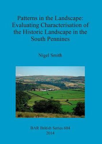
This study evaluates the methodologies used to prepare the national Rural Settlement Atlas, published by Roberts and Wrathmell in 2000, and the English Heritage sponsored Historic Landscape Characterisation exercises that have been undertaken at a countylevel since 1998. Both methodologies are morphological, based on deriving meaning from patterns in the landscape. The evaluation seeks to determine the extent to which they can offer an accurate portrayal of historic landscape character in the upland study area of the Upper Calder Valley in the South Pennines, an area that has received very little attention from landscape historians to date. The basic approach taken by the book is to apply both methodologies to the study area before comparing the resultswith those obtained by more traditional landscape history methodologies. The book prefaces this evaluation with a discussion and explanation of the origins and processes of both methodologies, reviews the criticisms previously made, and examines the commonalities exhibited. The basic commonality of using a morphological approach is critically discussed in detail. A new model is proposed that combines the evidence of historical process with the morphological attributes of settlement and fieldscapes.While this model is based on the South Pennine pays, the principles involved in its construction are intended to be applicable in other landscape areas.
$9.00 standard shipping within Australia
FREE standard shipping within Australia for orders over $100.00
Express & International shipping calculated at checkout
Stock availability can be subject to change without notice. We recommend calling the shop or contacting our online team to check availability of low stock items. Please see our Shopping Online page for more details.
This title is printed to order. This book may have been self-published. If so, we cannot guarantee the quality of the content. In the main most books will have gone through the editing process however some may not. We therefore suggest that you be aware of this before ordering this book. If in doubt check either the author or publisher’s details as we are unable to accept any returns unless they are faulty. Please contact us if you have any questions.
This study evaluates the methodologies used to prepare the national Rural Settlement Atlas, published by Roberts and Wrathmell in 2000, and the English Heritage sponsored Historic Landscape Characterisation exercises that have been undertaken at a countylevel since 1998. Both methodologies are morphological, based on deriving meaning from patterns in the landscape. The evaluation seeks to determine the extent to which they can offer an accurate portrayal of historic landscape character in the upland study area of the Upper Calder Valley in the South Pennines, an area that has received very little attention from landscape historians to date. The basic approach taken by the book is to apply both methodologies to the study area before comparing the resultswith those obtained by more traditional landscape history methodologies. The book prefaces this evaluation with a discussion and explanation of the origins and processes of both methodologies, reviews the criticisms previously made, and examines the commonalities exhibited. The basic commonality of using a morphological approach is critically discussed in detail. A new model is proposed that combines the evidence of historical process with the morphological attributes of settlement and fieldscapes.While this model is based on the South Pennine pays, the principles involved in its construction are intended to be applicable in other landscape areas.