Readings Newsletter
Become a Readings Member to make your shopping experience even easier.
Sign in or sign up for free!
You’re not far away from qualifying for FREE standard shipping within Australia
You’ve qualified for FREE standard shipping within Australia
The cart is loading…


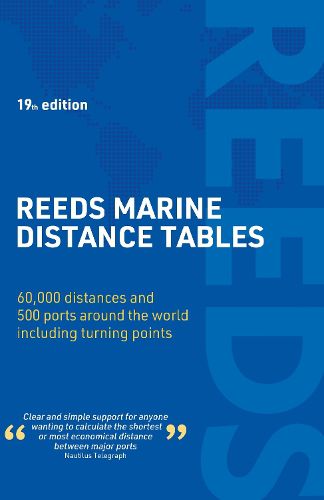
Reeds Marine Distance Tables is the perfect ready reckoner for captains, navigators and ship owners wanting a quick and accurate distance reference between all the regularly used commercial ports around the world.
Divided into key 'market areas', Reeds Marine Distance Tables includes a pull-out map for area identification and an easy see-at-a-glance port reference. Traffic Separation Schemes are calculated into the tables already, for ease of use. Useful tables of major 'turning points' around the world (including Cape Finisterre, Cape Horn and the Dover Straits), transatlantic distances, world time zones, and time and speed conversion tables are also included.
Comprehensively revised for its 19th edition, Reeds Marine Distance Tables is an invaluable resource for ship owners, operators, brokers, navigators and superyacht skippers. Using this one reference, anyone can calculate the shortest or most economical distances between all the major ports in the world.
$9.00 standard shipping within Australia
FREE standard shipping within Australia for orders over $100.00
Express & International shipping calculated at checkout
Stock availability can be subject to change without notice. We recommend calling the shop or contacting our online team to check availability of low stock items. Please see our Shopping Online page for more details.
Reeds Marine Distance Tables is the perfect ready reckoner for captains, navigators and ship owners wanting a quick and accurate distance reference between all the regularly used commercial ports around the world.
Divided into key 'market areas', Reeds Marine Distance Tables includes a pull-out map for area identification and an easy see-at-a-glance port reference. Traffic Separation Schemes are calculated into the tables already, for ease of use. Useful tables of major 'turning points' around the world (including Cape Finisterre, Cape Horn and the Dover Straits), transatlantic distances, world time zones, and time and speed conversion tables are also included.
Comprehensively revised for its 19th edition, Reeds Marine Distance Tables is an invaluable resource for ship owners, operators, brokers, navigators and superyacht skippers. Using this one reference, anyone can calculate the shortest or most economical distances between all the major ports in the world.
Search our extensive online catalogue.
