Readings Newsletter
Become a Readings Member to make your shopping experience even easier.
Sign in or sign up for free!
You’re not far away from qualifying for FREE standard shipping within Australia
You’ve qualified for FREE standard shipping within Australia
The cart is loading…


This title is printed to order. This book may have been self-published. If so, we cannot guarantee the quality of the content. In the main most books will have gone through the editing process however some may not. We therefore suggest that you be aware of this before ordering this book. If in doubt check either the author or publisher’s details as we are unable to accept any returns unless they are faulty. Please contact us if you have any questions.
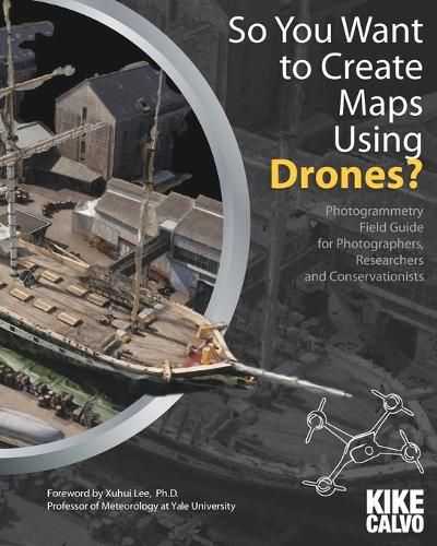
Photogrammetry with unmanned aerial vehicles (UAVs or drones) is a rapidly maturing technology. Being versatile and inexpensive, it has the potential to offer solutions in a wide range of applications, such as forestry inventory, precision agriculture, flood hazard assessment, pollution monitoring, land survey, and integrity assessment of industrial facilities. Written in the form of a field guide, this book explains, in easy-to-understand language, basic concepts of photogrammetry and spatial data, and techniques for mosaicking drone photos. The book is not intended as a complete do-it-yourself guide, but after reading it, you get a good sense about what hardware and software parts you will need to assemble a drone system on your own. Or if you have the funds, simply purchase a commercial product and follow the steps laid out in the book to design your application. Towards that end, you will find the survey of industrial leaders of environmental drone applications particularly useful. The author of the book, Kike Calvo, is an experienced National Geographic Creative photographer. The explanation of technical jargons is based on his own experience and interviews with his colleagues. Some of the questions and answers are included in the book. These are questions you probably would have and Calvo has already got expert answers for you. I find this style of writing quite effective, injecting liveness into what otherwise could be dry reading. UAV photogrammetry is not just about obtaining pretty pictures. To realize its potential you must georeference the pictures, produce an orthomosaic , and make 3D point clouds . Read the book to find out what all these mean, and much more. Foreword by Xuhui Lee. Sara Shallenberger Brown Professor, Yale University. Editor-in-Chief, Agricultural and Forest Meteorology.
$9.00 standard shipping within Australia
FREE standard shipping within Australia for orders over $100.00
Express & International shipping calculated at checkout
This title is printed to order. This book may have been self-published. If so, we cannot guarantee the quality of the content. In the main most books will have gone through the editing process however some may not. We therefore suggest that you be aware of this before ordering this book. If in doubt check either the author or publisher’s details as we are unable to accept any returns unless they are faulty. Please contact us if you have any questions.
Photogrammetry with unmanned aerial vehicles (UAVs or drones) is a rapidly maturing technology. Being versatile and inexpensive, it has the potential to offer solutions in a wide range of applications, such as forestry inventory, precision agriculture, flood hazard assessment, pollution monitoring, land survey, and integrity assessment of industrial facilities. Written in the form of a field guide, this book explains, in easy-to-understand language, basic concepts of photogrammetry and spatial data, and techniques for mosaicking drone photos. The book is not intended as a complete do-it-yourself guide, but after reading it, you get a good sense about what hardware and software parts you will need to assemble a drone system on your own. Or if you have the funds, simply purchase a commercial product and follow the steps laid out in the book to design your application. Towards that end, you will find the survey of industrial leaders of environmental drone applications particularly useful. The author of the book, Kike Calvo, is an experienced National Geographic Creative photographer. The explanation of technical jargons is based on his own experience and interviews with his colleagues. Some of the questions and answers are included in the book. These are questions you probably would have and Calvo has already got expert answers for you. I find this style of writing quite effective, injecting liveness into what otherwise could be dry reading. UAV photogrammetry is not just about obtaining pretty pictures. To realize its potential you must georeference the pictures, produce an orthomosaic , and make 3D point clouds . Read the book to find out what all these mean, and much more. Foreword by Xuhui Lee. Sara Shallenberger Brown Professor, Yale University. Editor-in-Chief, Agricultural and Forest Meteorology.
Search our extensive online catalogue.
