Readings Newsletter
Become a Readings Member to make your shopping experience even easier.
Sign in or sign up for free!
You’re not far away from qualifying for FREE standard shipping within Australia
You’ve qualified for FREE standard shipping within Australia
The cart is loading…


Most government agencies and private companies are investing significant resources in the production and use of geographical data. The capabilities of Geographical Information Systems (GIS) for data analysis are also improving, to the extent that the potential performance of GIS software and the data available for analysis outstrip the abilities of managers and analysts to use and analyze the information. This is especially true for environmental applications. Here the need to keep up-to-date is essential for providing effective and efficient services.
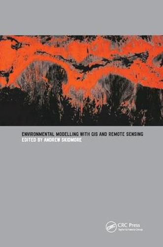
Environmental Modeling with GIS and Remote Sensing derives from a training course run by ITC for professionals and managers in the environmental sciences, detailing the applications of remote sensing and GIS for environmental modeling and assessment. It sets out the current research results and provides operational methods for environmental mapping and monitoring.
$9.00 standard shipping within Australia
FREE standard shipping within Australia for orders over $100.00
Express & International shipping calculated at checkout
Stock availability can be subject to change without notice. We recommend calling the shop or contacting our online team to check availability of low stock items. Please see our Shopping Online page for more details.
Most government agencies and private companies are investing significant resources in the production and use of geographical data. The capabilities of Geographical Information Systems (GIS) for data analysis are also improving, to the extent that the potential performance of GIS software and the data available for analysis outstrip the abilities of managers and analysts to use and analyze the information. This is especially true for environmental applications. Here the need to keep up-to-date is essential for providing effective and efficient services.
Environmental Modeling with GIS and Remote Sensing derives from a training course run by ITC for professionals and managers in the environmental sciences, detailing the applications of remote sensing and GIS for environmental modeling and assessment. It sets out the current research results and provides operational methods for environmental mapping and monitoring.