Readings Newsletter
Become a Readings Member to make your shopping experience even easier.
Sign in or sign up for free!
You’re not far away from qualifying for FREE standard shipping within Australia
You’ve qualified for FREE standard shipping within Australia
The cart is loading…


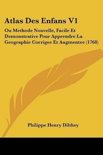
Le livre ""Atlas Des Enfans V1: Ou Methode Nouvelle, Facile Et Demonstrative Pour Apprendre La Geographie Corrigee Et Augmentee (1768)"" de Dilthey, Philippe Henry est un atlas destin????? aux enfants pour leur apprendre la g?????ographie de mani?????re facile et d?????monstrative. Il a ?????t????? publi????? pour la premi?????re fois en 1768 et a ?????t????? corrig????? et augment????? par la suite. Cet atlas contient des cartes g?????ographiques d?????taill?????es et des illustrations pour aider les enfants ?????? comprendre les diff?????rentes r?????gions du monde. Il est con?????u pour ??????tre facile ?????? utiliser et ?????? comprendre, avec des explications claires pour chaque carte. Ce livre est un excellent outil pour les enfants qui souhaitent en savoir plus sur la g?????ographie et le monde qui les entoure.This Book Is In French.This scarce antiquarian book is a facsimile reprint of the old original and may contain some imperfections such as library marks and notations. Because we believe this work is culturally important, we have made it available as part of our commitment for protecting, preserving, and promoting the world's literature in affordable, high quality, modern editions, that are true to their original work.
$9.00 standard shipping within Australia
FREE standard shipping within Australia for orders over $100.00
Express & International shipping calculated at checkout
Le livre ""Atlas Des Enfans V1: Ou Methode Nouvelle, Facile Et Demonstrative Pour Apprendre La Geographie Corrigee Et Augmentee (1768)"" de Dilthey, Philippe Henry est un atlas destin????? aux enfants pour leur apprendre la g?????ographie de mani?????re facile et d?????monstrative. Il a ?????t????? publi????? pour la premi?????re fois en 1768 et a ?????t????? corrig????? et augment????? par la suite. Cet atlas contient des cartes g?????ographiques d?????taill?????es et des illustrations pour aider les enfants ?????? comprendre les diff?????rentes r?????gions du monde. Il est con?????u pour ??????tre facile ?????? utiliser et ?????? comprendre, avec des explications claires pour chaque carte. Ce livre est un excellent outil pour les enfants qui souhaitent en savoir plus sur la g?????ographie et le monde qui les entoure.This Book Is In French.This scarce antiquarian book is a facsimile reprint of the old original and may contain some imperfections such as library marks and notations. Because we believe this work is culturally important, we have made it available as part of our commitment for protecting, preserving, and promoting the world's literature in affordable, high quality, modern editions, that are true to their original work.